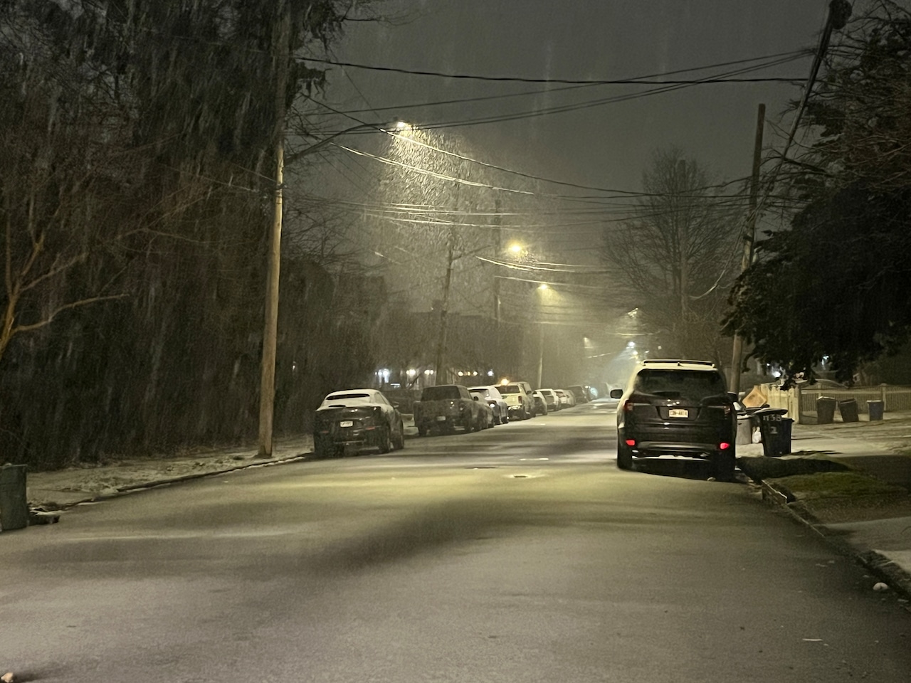
As Massachusetts closes out the winter season, the state is expected to experience some snow amid rain at night when temperatures drop, according to the National Weather Service. But Bay Staters are unlikely to see much accumulation, even in the Berkshires.
The highest elevations in the state may see some snow before noon on Wednesday, according to the weather service. But the precipitation is expected to shift to rain as temperatures warm into the high 40s and low 50s during the day.
Later on Wednesday, Massachusetts is predicted to see some more substantial showers ahead of a cold front, according to weather service forecaster Kevin Cadima. The precipitation could change back to snow in the state’s highest elevations before it stops, but no accumulation is expected.
The cold front is predicted to drop temperatures into the upper 20s to low 30s overnight and leave a cool, sunny and breezy on Thursday, according to the weather service. Overnight lows are expected to drop into the upper teens and low 20s Thursday night.
Friday is also predicted to be sunny, with highs reaching the low 40s and upper 30s across the state, but a storm is expected to hit the state overnight Friday and bring another chance of snow, according to Cadima. Between midnight and daybreak, the Berkshires and Worcester Hills could get one to three inches, but rain on Saturday is expected to wash out this accumulation.
The rest of the state is predicted to experience mostly rain throughout the storm amid highs in the low to mid 40s during the day, according to Cadima. As the rain continues overnight Saturday, much of the state could again see a switch back to snow, but it is unlikely to stick around.
Sunday is expected to be another breezy and cool day with highs in the low 40s, according to the weather service.