
Rainy weather could make a comeback in Massachusetts this weekend, but it might not affect anyone’s plans to go outside.
Saturday should see daytime highs in the mid- to high 80s, with dry weather likely sticking around all day, according to the National Weather Service. But late in the evening, instability could develop and bring an early dose of rain and storm conditions.
Rain could come in the form of 1 and a half to 2 inches of precipitable water, forecasters said. This could develop in the form of scattered showers after 12 a.m. Sunday. Nighttime lows should dip into the high 60s or low 70s.
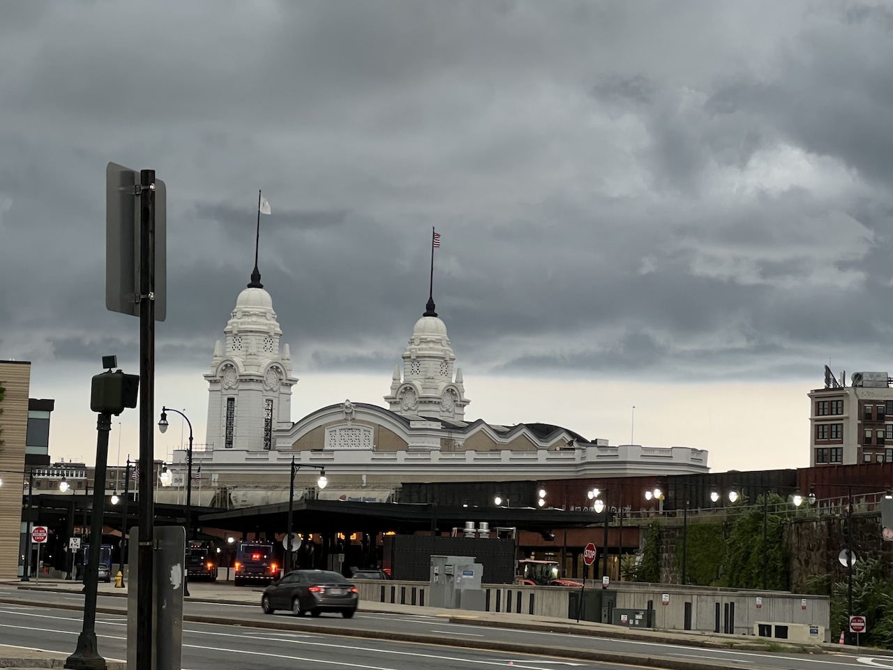
Forecasters anticipate at least two rounds of potentially severe thunderstorms, one early in the day and one later on Sunday. The primary risks from both of these storms are damaging winds and heavy rain.
“[We] currently view the severe weather risk as on the lower side but it isn’t zero,” forecasters wrote.
All three of the major cities could see between a tenth to a quarter of an inch of rainfall, but higher amounts are possible if thunderstorm conditions worsen, forecasters continued.
This storm risk stretches across most of the state, with the exception of northwestern Massachusetts, forecasters said. Daytime high temperatures should range between 78 to 86 degrees
Dry conditions should return Monday, with temperatures dipping into the 70s and low 80s, forecasters said. But temperatures could pick back up again later in the week, with the potential for highs in the 90s between Thursday and Friday, along with the potential for thunderstorms to develop again.
If you purchase a product or register for an account through a link on our site, we may receive compensation. By using this site, you consent to our User Agreement and agree that your clicks, interactions, and personal information may be collected, recorded, and/or stored by us and social media and other third-party partners in accordance with our Privacy Policy.