

High winds and frigid temperatures are expected to sweep across Massachusetts on Tuesday, as forecasters monitor a few “nuisance snow showers” that will extend into the new year.
A High Wind Warning was in effect until 1 a.m. on Wednesday for areas of Central and Western Massachusetts. This includes the cities and towns of Charlemont, Chesterfield, Blandford, Ayer, Fitchburg and Barre, according to the National Weather Service.
Damaging gusts may reach up to 55 mph with winds between 10-20 mph throughout the day, forecasters warn. The rest of Massachusetts was also under a Wind Advisory until early Wednesday morning.
Snow showers are possible throughout the day Tuesday in the Berkshires, with flurries likely between 11 a.m. and 1 p.m. and returning after 3 p.m.
While accumulations should stay under an inch, it will feel very cold. Wind chills may drop to -8 degrees, despite actual highs near 17.
Elsewhere in Western Massachusetts, temperatures should reach about 26 degrees, while Central and Eastern Massachusetts will see highs around 24 and 27 degrees, respectively. Cape Cod and the Islands may only climb to about 29.
Forecasters expect the cold air to last for the rest of the week and are monitoring light snow showers across the state for New Year’s Eve night into New Year’s Day.
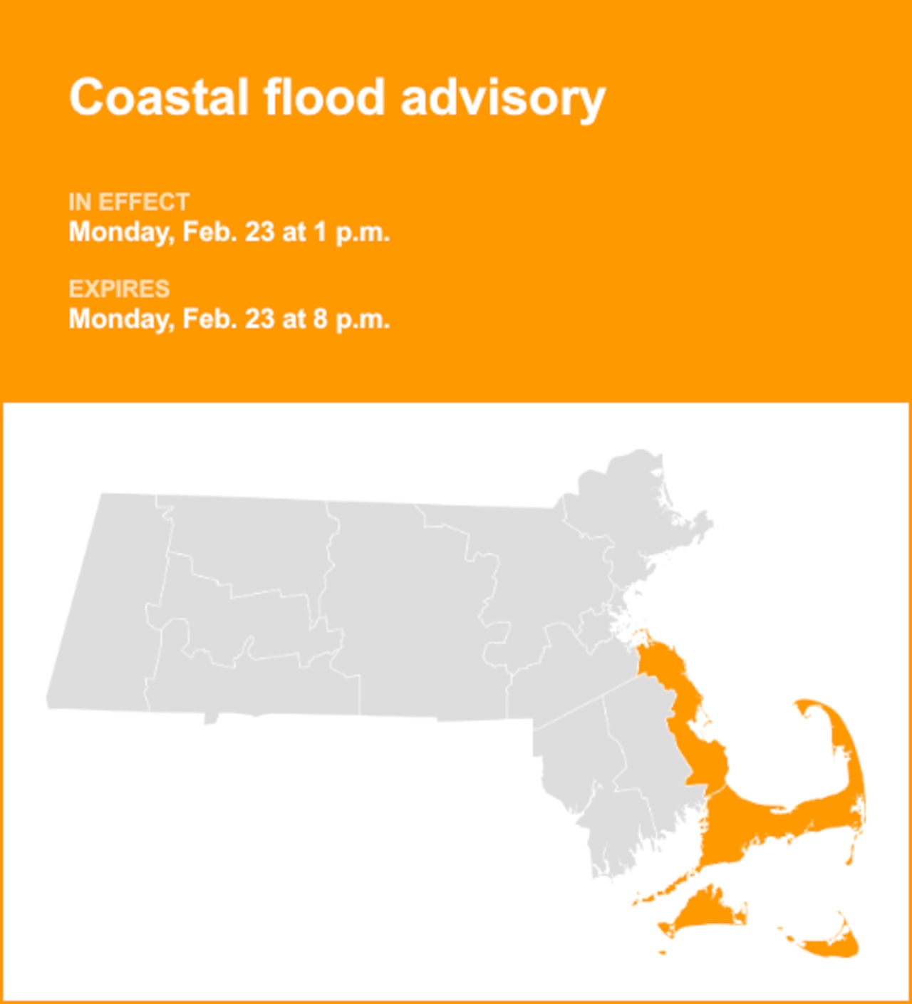
Significant accumulations aren’t expected for most areas, but Cape Cod & the Islands could see a couple inches with ocean-enhanced snowfall.