

With a peninsula coming out of its side like a fishing hook, Massachusetts is easy to distinguish when viewed from space.
Once one of the original 13 colonies before the founding of the United States, Massachusetts can be spotted from space by its green wooded terrain and its prominent peninsula, Cape Cod.
In the time that NASA has taken photos of Earth from the planet’s orbit, Massachusetts has been photographed several times. Above are 10 photos of the Bay State taken between 1978 and 2024.
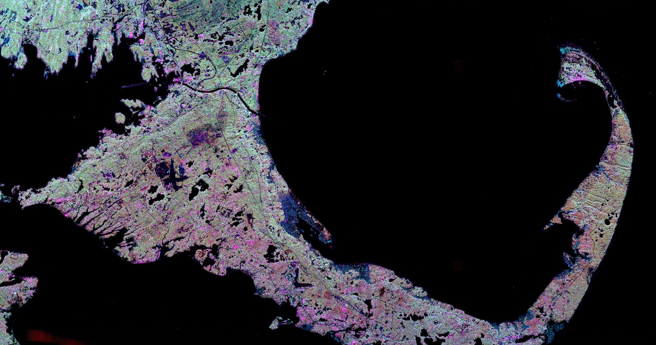
This includes a close-up view of the Cape that used radar imaging, taken on April 15, 1999. Radar imaging uses its own light to illuminate an area on the ground and take a snapshot picture, but at radio wavelengths, according to NASA. The Cape appears lime green with shades of pink and magenta, emboldened by the dark background of the ocean.
Other photos are of famous sites that have shaped Massachusetts history — as well as American and world history. In October 2006, NASA’s Terra satellite, a scientific research spacecraft that studies Earth’s surface, photographed Lexington and Concord.
The two towns are home to the first battlefields of the American Revolution in 1775. Sandwiched between the two towns sits Hanscom Air Force Base, sprawled in the center of the image.
While Massachusetts seen from space is typically green, astronauts captured a view of it while snow was still settled on the ground. On April 7, 2001, crewmembers aboard the Space Shuttle Discovery took a photo of parts of southern New England using a 35mm camera.
“The southern limit of the snow-covered landscape can be traced from southeast Massachusetts (left center) westward along the northern shore of Long Island Sound and includes the northern end of New Jersey (right center),” NASA wrote.




