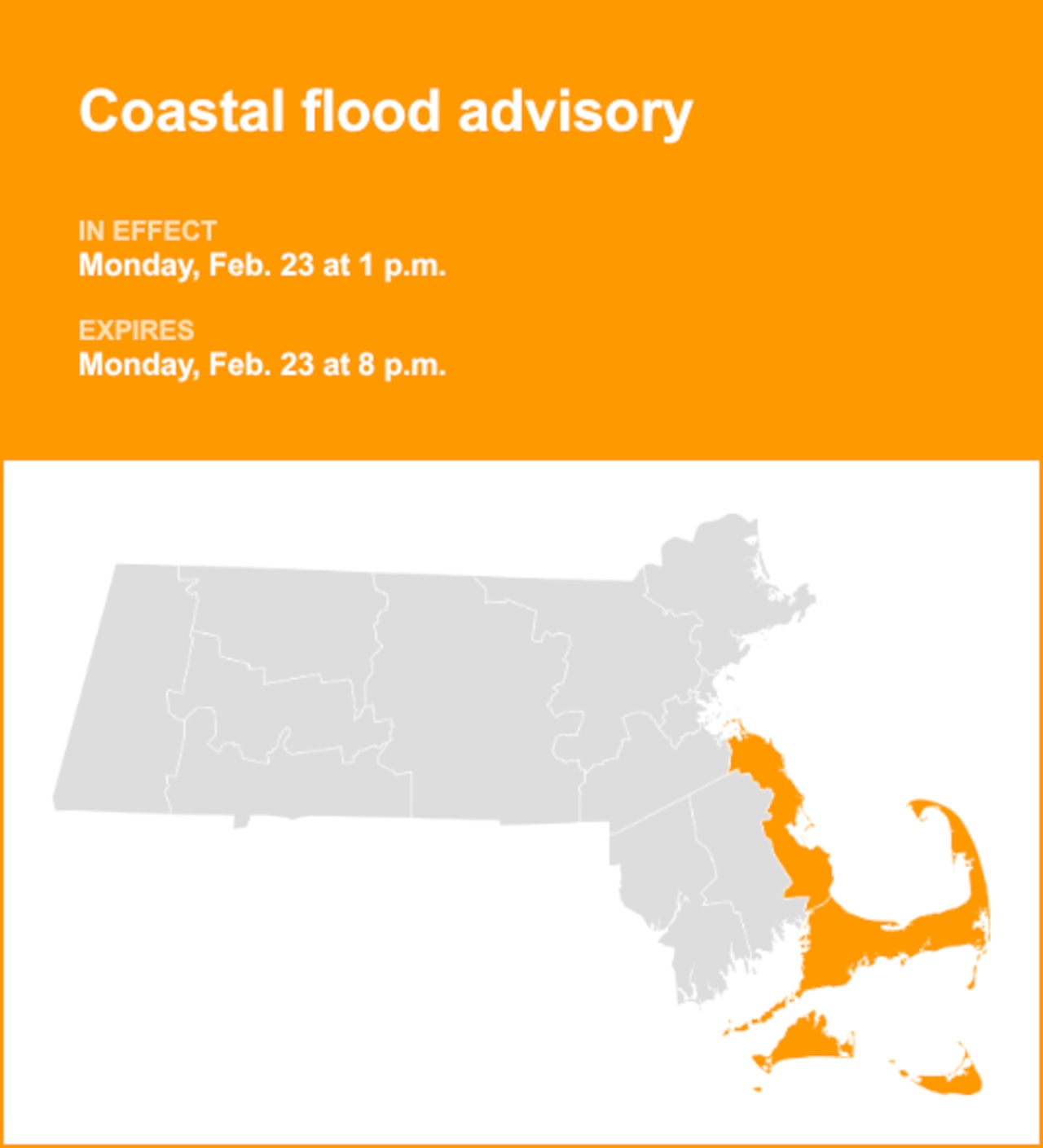


Following a rainy day across Massachusetts on Wednesday, cloudy skies could continue on Thursday as some of Hurricane Erin moves through the Atlantic Ocean and possibly impacts the Cape and Islands with heavy winds.
Rain should diminish later Wednesday night and into Thursday’s early hours, according to the National Weather Service. A gradual drying-out should be present throughout Thursday, though forecasters wrote that they can’t “rule out a lingering shower/sprinkle early Thursday morning across the southcoast and Cape and Islands.”
The afternoon should be fully dry, with cloudy skies still lingering and temperatures reaching highs in the upper 60s to low 70s, forecasters said.
Hurricane Erin’s presence in the Atlantic should bring northeast winds and gusts to Massachusetts, with a potentially higher impact hitting the Cape and Islands, forecasters said. Southern New England should see gusts between 20 and 25 mph, while around the Cape and Islands it should be between 25 and 35 mph.
As it leaves going into the night, Erin could affect communities along the coast, resulting in high surf, coastal flooding and very heavy winds, forecasters said. Erin’s “fairly large wind field” could prompt 46 to 57 mph winds. These high winds could continue on until at least the morning.
The weather service also issued a Gale Warning that goes into effect from 2 to 8 p.m. Thursday. Gusts over 40 mph are possible for parts of Cape Cod Bay, as strong winds could “cause hazardous seas which could capsize or damage vessels and reduce visibility,” the warning read.
“We have issued a Wind Advisory for Cape Cod and the Islands from 5 p.m. Thursday through Friday afternoon,” forecasters wrote. “Minor coastal flooding will also be a concern for Martha’s Vineyard and Nantucket late Thursday night as well as the continued potential for beach erosion, especially along the south-facing beaches.”
The hurricane should cause a large southerly swell that could cause 11-foot waves during the morning and potentially increase going into Friday, forecasters said. Thus, a High Surf Advisory remains in effect and covers the Cape and Islands and remains in effect until 8 p.m. Saturday.
“Waves up to 20 feet are possible for the southern outer waters off the south coast and off Martha`s Vineyard/Nantucket, [before] gradually decreasing Friday,” forecasters wrote. “Rip currents will become a significant concern as the week goes on with this elevated surf through at least the first half of the weekend.”
By the end of Thursday, Friday should see the start of more pleasant weather as Erin continues to move away from New England, forecasters said. While winds across the interior should go from 20 mph in the morning to 10 mph in the evening, winds by the Cape and Islands could be higher — gusts of 50 mph in the morning before diving to under 20 mph by night. But winds should yield to sunnier skies Friday and Saturday, with temperatures in the high 70s in Eastern Massachusetts and in the low 80s across the interior.
Cooler weather should return by late Sunday, as a cold front arrives and could contribute to some isolated and scattered showers, and maybe even a weak thunderstorm for early next week, forecasters said. Close to 2 inches of precipitable water is possible Monday through Monday night.
“A bit early to message severe thunderstorms at this time due to uncertainty with the stalled front, but will need to keep a close eye on Monday evening,” forecasters wrote.
Daytime highs should be in the mid-70s to low 80s, with dewpoints in the low to mid-60s, forecasters said.
If you purchase a product or register for an account through a link on our site, we may receive compensation. By using this site, you consent to our User Agreement and agree that your clicks, interactions, and personal information may be collected, recorded, and/or stored by us and social media and other third-party partners in accordance with our Privacy Policy.