

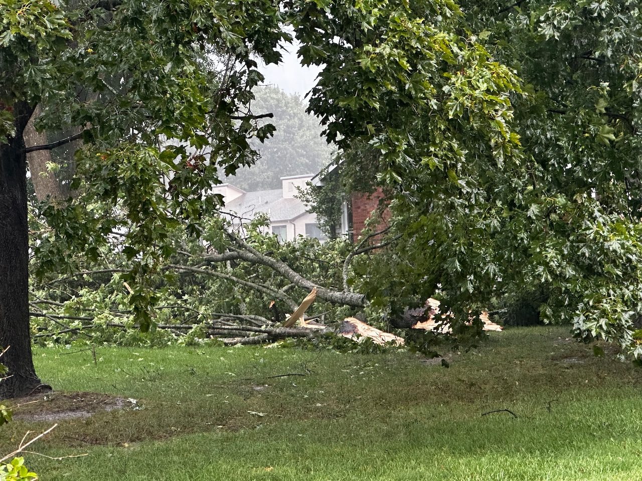
Update: Tornado touches down in Central Mass., National Weather Service confirms
Editor’s note: The story was updated around 5:30 p.m. with additional information.
Dangerous storms are continuing to move through Massachusetts and while some warnings may have expired, the overall threat is ongoing.
Around 3 p.m., the storms were moving east at 40 mph and are capable of producing damaging winds that could wreck trees and power lines as well as quarter-sized hail that could damage vehicles.
Residents in the storm’s path, included Springfield, Westfield, Agawam, West Springfield, Longmeadow, Southwick, Granville and Tolland, and were urged to remain on high alert.
“For your protection move to an interior room on the lowest floor of a building,” the National Weather Service warns. “Torrential rainfall is occurring with this storm, and may lead to flash flooding. Do not drive your vehicle through flooded roadways.”
National Weather Service meteorologist Andrew Loconto told MassLive that several trees and power lines have reported to be down in the western part of the commonwealth including Southampton, Chicopee, Holyoke and Belchertown.
“Surprisingly there have been no reports of vehicle damage, which is a good thing,” Loconto said.
The storms continued across the state throughout the day with officials warning it’s a “dangerous situation.”
“Lightning is one of nature`s leading killers. Remember, if you can hear thunder, you are close enough to be struck by lightning,” the weather service wrote.
A tornado warning was in effect for central and Worcester County until 4:45 p.m.
At 3:30 p.m., a severe thunderstorm was located over West Brookfield, or 18 miles west of Worcester, moving east at 35 mph.
“Hail damage to vehicles is expected. Expect wind damage to trees and power lines,” the National Weather Service warned.
A tornado touched down in Central Massachusetts Saturday, a National Weather Service’s radar confirmed.
The radar showed a tornado in Holden moving east at 40 mph at 4:07 p.m.
Meterologist Candic Hrencecin told MassLive that although no official reports have been made yet, there has been a warning out for the Central Massachusetts area including in West Boylston and Worcester.
“Stay weather aware,” she said.
The severe thunderstorm warning continued expanding east around 5 p.m. on Saturday. This included 60 mph wind gusts and quarter size hail.
The warning is for northwestern Suffolk County, southwestern Essex County and northeastern Middlesex County. This includes Boston, Cambridge, Lynn, Newton, Somerville, Framingham, Waltham, Malden, Medford, Revere, Peabody, Arlington, Everett, Billerica,Woburn, Chelsea, Chelmsford, Andover, Natick and Watertown.
The warning lasts until at least 6:15 p.m.
The weather service added that tornadoes are still possible and can develop quickly from severe thunderstorms.
“Although a tornado is not immediately likely, if one is spotted act quickly and move to a place of safety inside a sturdy structure, such as a basement or small interior room,” the weather service wrote.
A severe thunderstorm watch is in effect in other parts of the state until 8 p.m.
If you purchase a product or register for an account through a link on our site, we may receive compensation. By using this site, you consent to our User Agreement and agree that your clicks, interactions, and personal information may be collected, recorded, and/or stored by us and social media and other third-party partners in accordance with our Privacy Policy.




