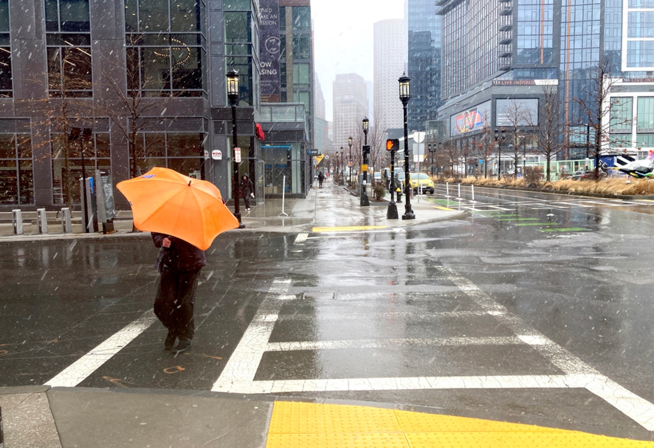
A weather system is set to bring precipitation to Massachusetts beginning Friday, but National Weather Service forecasters say uncertainty reigns about what exactly the precipitation will fall as when the system moves over New England.
Recent forecast trends indicate the precipitation will start mid-morning on Friday over the South Coast before spreading north as the day goes on. As a result, forecasters believe surface temperatures could warm up to above-freezing, leading the precipitation to fall as rain.
But the forecast also shows a corridor of sub-freezing air near and north of the Massachusetts Turnpike by the afternoon.
“Right now have higher confidence in precipitation types as mainly rain … for areas south of the Mass Pike for the majority of this event, though it may briefly end as snow or freezing drizzle as the system pulls away,” forecasters wrote. “Greater uncertainty in precip types and accumulations lie along and north of the Mass Pike, with a continued potential for a variety of precipitation types all still in the cards.”
Despite the uncertainty, forecasters say any snow or ice accumulations are unlikely to be substantial given the mix of precipitation they expect.
The next chance for snow comes late Sunday night into early Monday morning. Forecasters expect a burst of light snow for areas north of the Mass. Pike, while areas south of the highway are more likely to see a mix of snow and rain.
Still, forecasters say there is only about a 40% chance of snow accumulations greater than an inch north of the Mass. Pike.