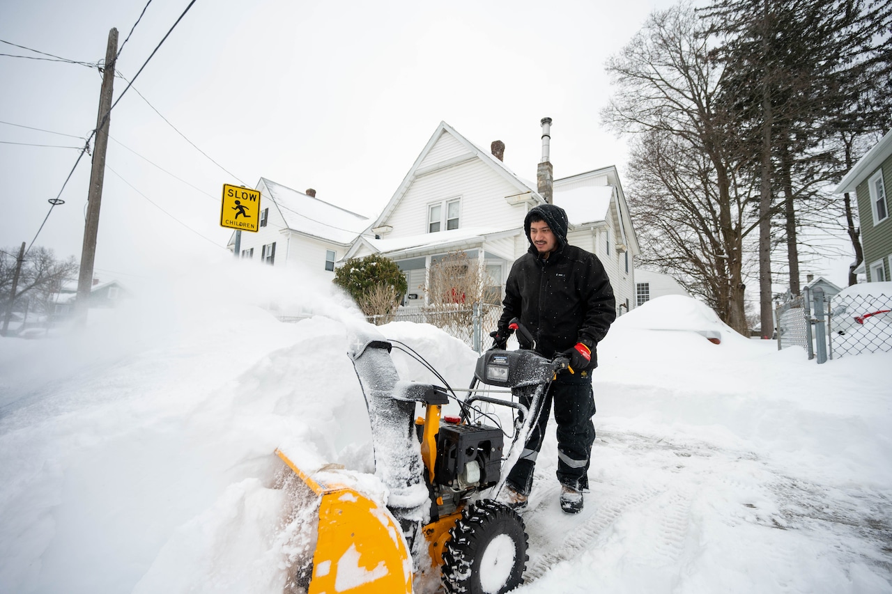

Latest forecasts Friday night project a one-two punch of dangerous weather in Massachusetts over the weekend, with frigid cold Saturday before a massive snowstorm on Sunday into Monday.
Temperatures were in the teens and 20s statewide after sunset on Friday. They are projected to drop further overnight, plunging below zero across Western, Central and Eastern Massachusetts or lingering in the single digits along the coastline, according to the National Weather Service.
Under sunny skies, Pittsfield will see highs of 5 degrees on Saturday, with wind chills 28 below zero and gusts up to 28 mph. In Springfield, Worcester and Boston, highs will reach 14 degrees with wind chills between minus 12 and 16. Hyannis will see highs at 17 that feel like minus 11.
Gov. Maura Healey cautioned residents of frostbite after being outside for “any amount of time” on Saturday and urged people to not travel.
These cold conditions will linger into Sunday, when snow is expected to start first in Central and Eastern Massachusetts at around 8 a.m., the Weather Service reported. It will spread by 10 a.m. to Western Massachusetts, the Berkshires and Cape Cod & the Islands.
Snowfall rates will be heavy and could reach between one and two inches per hour, forecasters said. The snow will continue statewide on Sunday night and throughout the day on Monday — though it could switch to rain and sleet on Cape Cod & the Islands on Sunday night, before back to snow on Monday.
And while snowfall total predictions have varied across Massachusetts forecasters, the Weather Service said up to 18 inches could fall statewide. This is expected to vary in each part of the state, with some parts that could see higher totals.
Weather Service forecasters say they are still eyeing where the heavier snow bands will fall across the state as of Friday night.