

In classic New England style, Massachusetts is in for a mixed bag on Wednesday with snow, rain and temperatures that range from near freezing to almost 50 degrees all in the forecast.
The snow will be confined to the Berkshires, according to the National Weather Service. Showers will be possible before sunrise, then a full-on snow event is set to arrive after 1 p.m. and bring up to 3 inches. Wind gusts may reach up to 40 mph during the day.
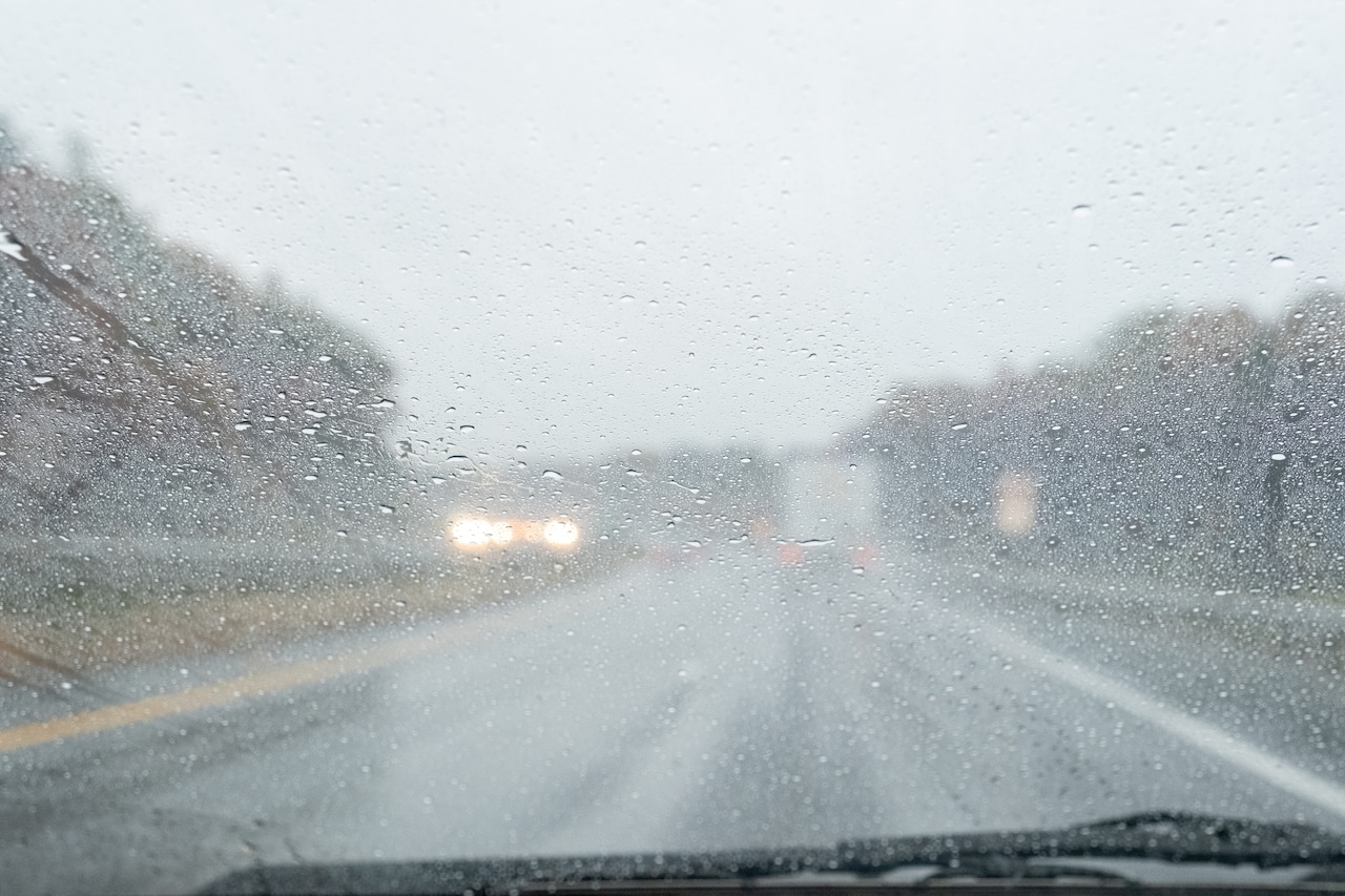
For the rest of the state, rain will spread from west to east on Wednesday, forecasters said. It’s expected to begin in Western Massachusetts by early afternoon and reach Eastern Massachusetts by the evening.
Temperatures will range from 33 degrees in Pittsfield to the low 40s in Springfield and Worcester. Both Boston and Hyannis could reach up to 48 and 49 degrees during the daytime on Wednesday, forecasters say.
But the precipitation will taper off as temperatures drop overnight and a cold front moves into the state, dragging temperatures back down on Thursday.
It could leave Massachusetts residents waking up to temperatures in the upper 20s and low 30s that will struggle to rise throughout the daytime, especially with up to 50 mph wind gusts expected in some areas.
This may create dangerous wind chill conditions that drop from the teens and 20s on Thursday afternoon to the single digits by the evening. The Berkshires may also be in for another round of show showers on Thursday afternoon.
Wind chills are projected to be between 0 and 10 degrees on Thursday night statewide, with the chance of dropping to the negatives in higher elevations of the state.
Forecasters are still eyeing the chance for accumulating snow on Saturday night into Sunday and monitoring another shot of arctic air arriving Sunday, with temperatures looking cold in the 20s early next week.




