

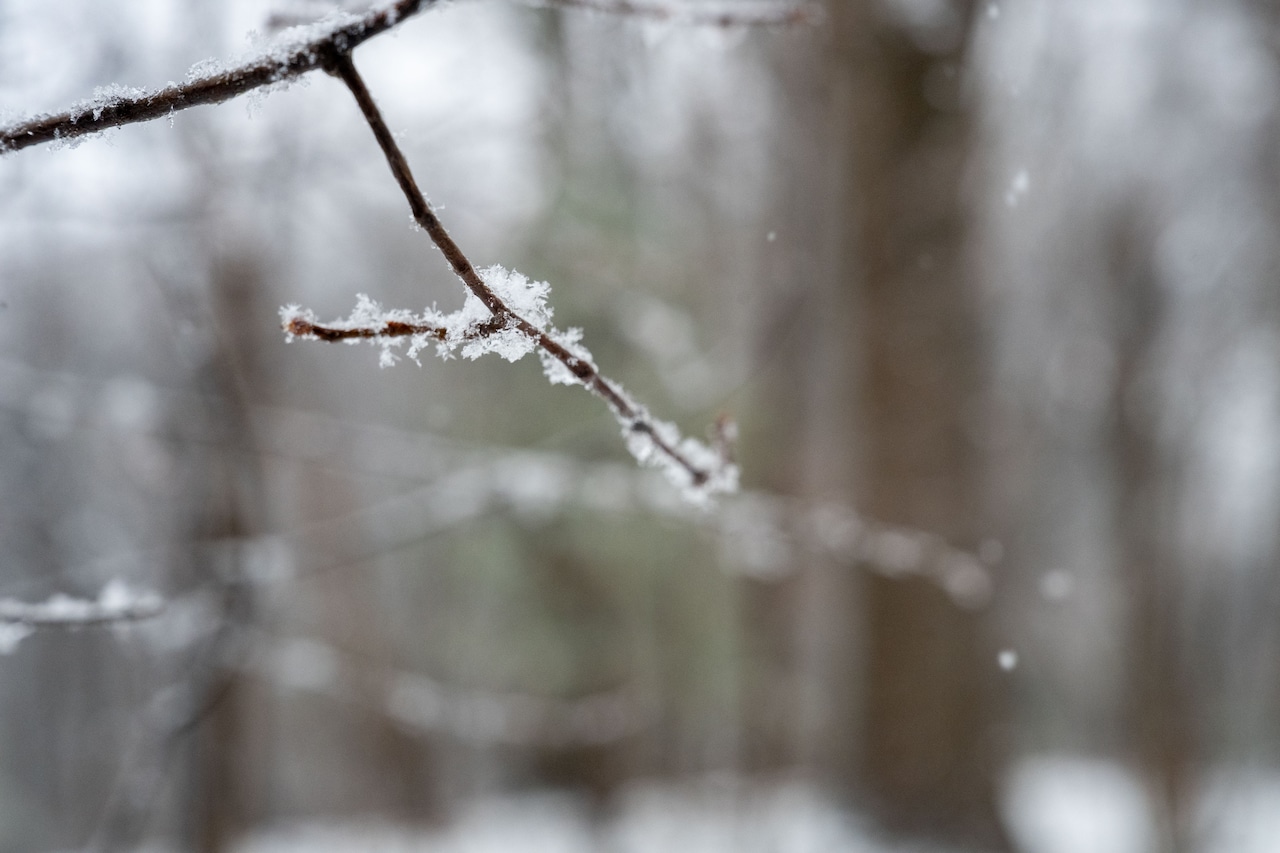
Snow flurries are on the radar this holiday weekend in Massachusetts, but a much warmer stretch of weather could move in early next week — followed by yet another chance for snow.
The flurries are expected to start overnight on Friday and continue into Saturday morning, according to the National Weather Service.
Showers are possible for areas in The Berkshires, while Worcester, Springfield and Cape Cod & the Islands will be limited to flurries.
Forecasters didn’t note any significant projected accumulations, with precipitation expected to end by 9 a.m. on Valentine’s Day.
Saturday daytime temperatures will be in the low 30s in The Berkshires and could reach highs of 39 in Springfield, Worcester and Boston.
Conditions will then drop overnight to the low double-digits in Western Massachusetts and low 20s in Central and Eastern Massachusetts.
Sunday is expected to be sunny and in the low to mid-30s statewide, with conditions improving further to the upper 30s across the entire state on Monday. Skies will be mostly cloudy for Presidents Day 2026.
Forecasters are also eyeing the chance for a major upswing in temperatures, which could reach nearly 50 degrees Tuesday.
Springfield and Worcester could reach 48, Boston may hit 47 and even Pittsfield and Cape Cod & the Islands could be at possible highs of 42 and 40 degrees, respectively.
However, snow could be in the forecast for the remainder of the week. Forecasters expect to know more after the holiday weekend.




