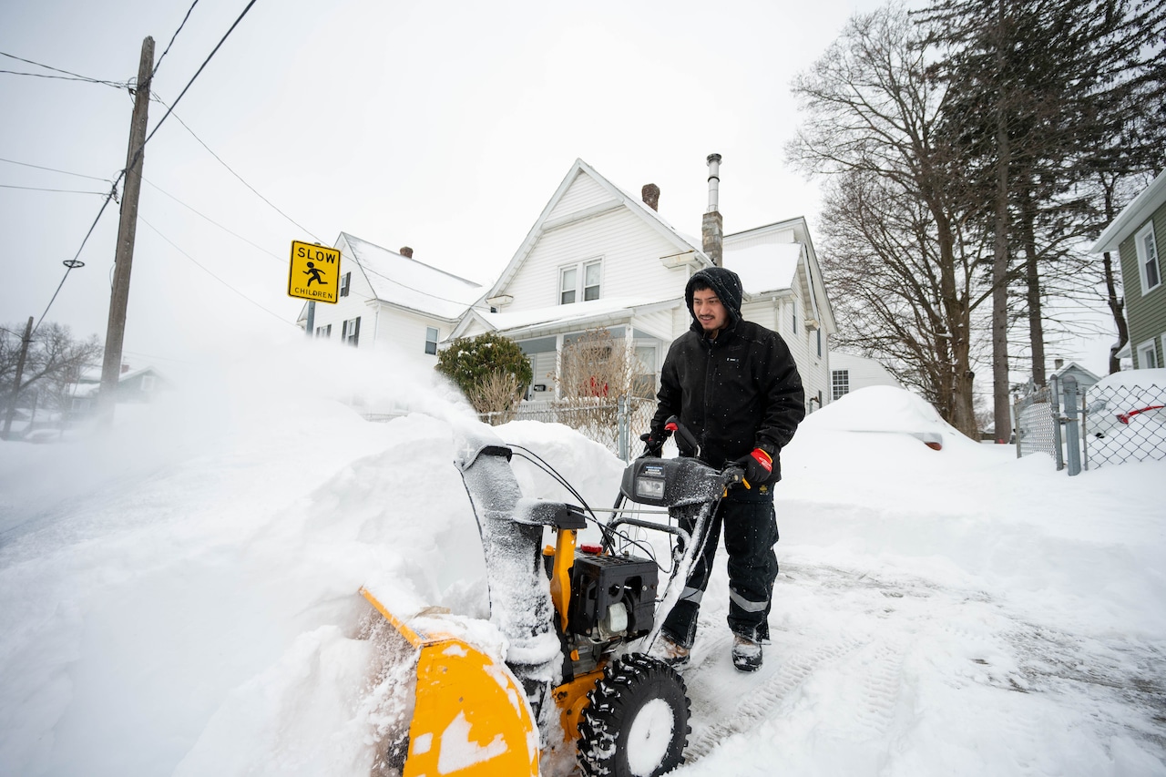


The heaviest snowfall from the coastal storm that barreled into Massachusetts on Sunday had ended by around 4:30 a.m. Monday morning, but forecasters expect snow showers to continue for hours, with another inch or two of accumulation possible.
The snow showers are expected to exit Western Massachusetts and Connecticut after 8 or 9 a.m., then make their way out of Eastern Massachusetts and Rhode Island by 10 or 11 a.m., according to the National Weather Service.
In the wake of the snow, Massachusetts is expected to see some sunshine emerge, with temperatures rising to the low to mid 30s.
By Monday night, though, a strong arctic cold front is expected to settle over the Bay State, with gusty winds dropping overnight low temperatures into the teens. Wind chills by daybreak on Tuesday are expected to fall between 5 below zero and 10 above zero.
“Outside a brief flurry/spot snow shower across the interior, dry but very cold weather is on tap,” forecasters wrote.
Temperatures are expected to moderate later in the week, with highs potentially breaking 40 in parts of the Bay State on Thursday. Conditions are expected to remain mostly dry, outside of a few rain or snow showers.
The warm-up is not likely to last long, though, as a cold front moves in on Friday.
Looking ahead to the weekend, some models are predicting that a piece of the polar vortex will break off and make its way into the region, bringing with it a “shot of arctic air that would potentially challenge records and result in dangerously cold wind chills.”
But other models show the Arctic cold not making its way as far south, leading to low pressure coming much closer to the coast. That would limit the spread of the cold but likely bring a winter storm, forecasters wrote.
“It is way too early to say much more at this time,” forecasters said. “Given this is 6-7 days in the future, will be at least a few more days until we have a better idea.”