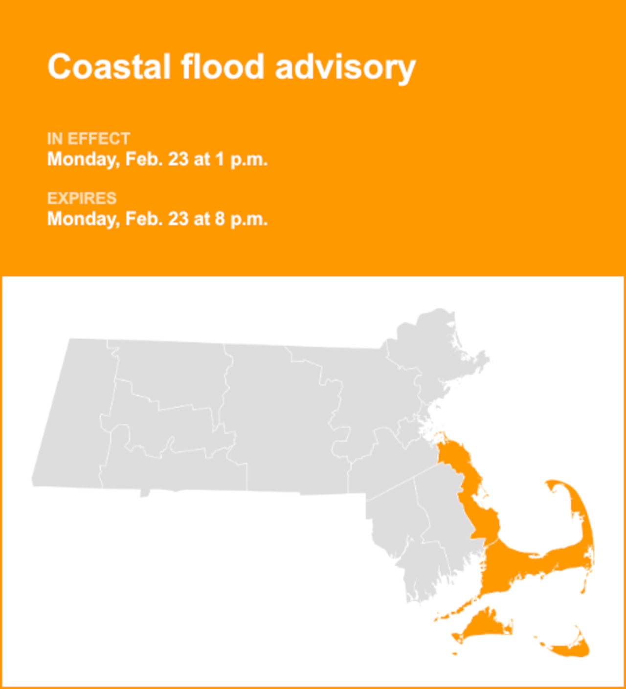

With Sept. 1 marking the first day of meteorological fall, the shift to cooler temperatures and shorter days has officially begun in Massachusetts.
On just the second day of the season, a classic sign of fall emerged when a layer of fog settled in on Tuesday morning. The fog, coupled with temperatures in the 50s or even 40s in some areas, is a “sign of the times now that the calendar has moved to September,” forecasters wrote.
The morning fog will give way to a clear day across the Bay State. Temperatures are expected to climb to the mid to high 70s, with some parts of the Connecticut River Valley crossing 80. Areas along the coast will be slightly cooler thanks to an onshore wind.
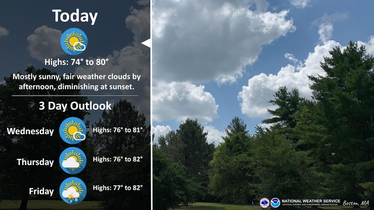
Another chilly night is on tap Tuesday ahead of a slightly warmer Wednesday, with highs in the upper 70s or low 80s. Thursday’s forecast is much the same, with dry conditions and seasonable temperatures expected.
The next chance for precipitation arrives Friday, with rain and thunderstorms.
“With the potential for embedded thunderstorms and above normal moisture present, localized areas may receive high amounts of rainfall,” forecasters wrote.
Temperatures should remain in the 70s to 80s through Saturday. A cold front moving through later in the day should bring back cooler highs and lower humidity on Sunday and Monday, with slightly below normal highs in the low 70s or upper 60s.
If you purchase a product or register for an account through a link on our site, we may receive compensation. By using this site, you consent to our User Agreement and agree that your clicks, interactions, and personal information may be collected, recorded, and/or stored by us and social media and other third-party partners in accordance with our Privacy Policy.