
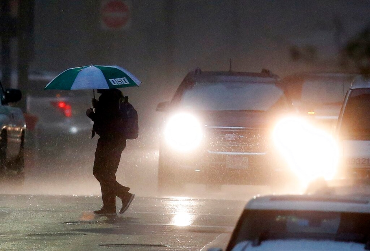
Scattered showers and thunderstorms will move across Massachusetts as morning turns to afternoon on Wednesday, bringing with them the potential for localized heavy rain, according to National Weather Service forecasters.
But there will still be periods of dry weather in the Bay State on Wednesday, forecasters said, because weather conditions are such that the thunderstorms will be “disorganized.”
Wednesday’s storms are set to begin in the central and eastern parts of the state in the morning, before moving to Western Massachusetts in the afternoon. The heaviest rainfall forecasted on Wednesday is in The Berkshires, and forecasters say 1 to 2 inches of rain could fall quickly during intense storms.
Still, the storms are not expected to be strong or severe on Wednesday and sunshine could break through the gloom after noon.
On Cape Cod, in Barnstable, forecasters say there is a chance of showers after 10 a.m. with just a 30% chance of precipitation.
In Boston, the forecast calls for a chance of showers with thunderstorms possible after 12 p.m. The chance of precipitation in the city is 50%, forecasters said. Up to a quarter of an inch of rain is expected on Wednesday. In Worcester, showers are likely between 10 a.m. and 3 p.m., with a chance they continue after 3 p.m.
In the western part of the state, forecasters predict showers to hit Springfield after 2 p.m. on Wednesday. The chance of rainfall for the city is 60%.
A hazardous weather outlook is in place in Pittsfield, where forecasters say isolated incidents of flash flooding can’t be ruled out because of Wednesday’s storms. The chance of precipitation there is 70%.
The rain on Wednesday is expected to give way to hot and dry weather on Thursday when temperatures could feel as hot as the mid-90s. The oppressive heat and humidity will continue through the weekend, forecasters said.


