
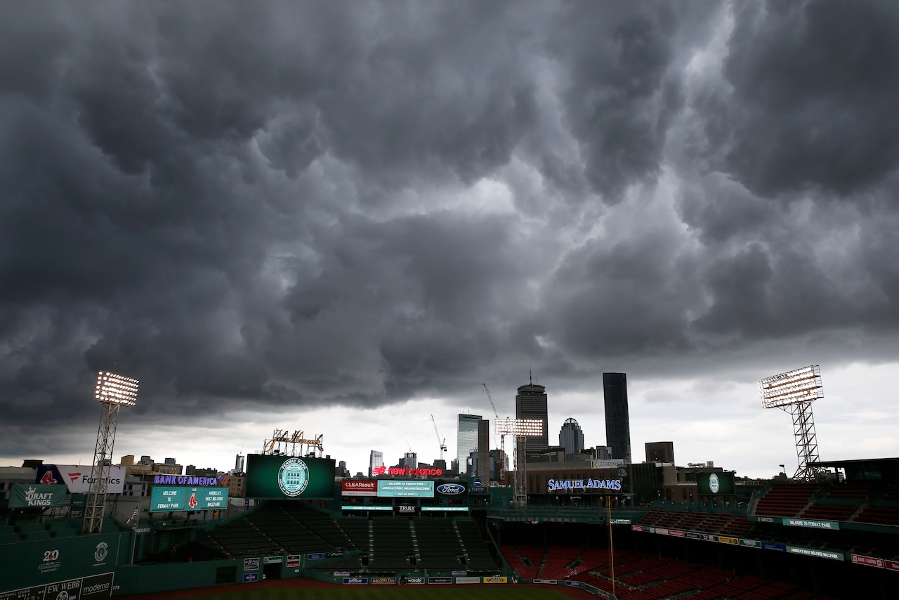
Summer-like conditions and thunderstorms are on course for a comeback in Massachusetts this week, but not before some downpours possibly materialize on Tuesday.
Hit or miss rainfall could sprinkle areas south of the Massachusetts Turnpike Tuesday morning, according to the National Weather Service. But forecasters anticipate cloud cover to be present all day.
“Although there is some optimism in some breaks in the cloudiness in eastern New England, most of the day probably ends up with more cloud cover than sun, which will really temper how warm we should get today,” forecasters wrote.
Temperatures should mostly be in the 60s on Tuesday, though southeastern Massachusetts could be at or over 70 degrees, forecasters said. Springfield could also reach a high of 72 degrees, while Boston should reach 69 degrees.
Conditions should grow increasingly humid by the afternoon, with dewpoints in the 60s, forecasters said.
There is low confidence that any more showers will appear or affect the evening commute Tuesday night, according to meteorologists. Chances for downpours to materialize increase going into the evening, but forecasters are still unsure about the exact timing. These showers are likely to be brief, with no chances for washouts developing.
Humidity increases on Wednesday, what forecasters expect to be “the first real dose of true mugginess felt to this point in early summer.” Daytime highs should be in the 70s and low 80s, with conditions getting hotter on Thursday.
Heat indices on Thursday should be between the mid-90s and 100, with daytime highs possibly breaking past 90 degrees, forecasters said.
“We probably fall short of reaching heat-headline criteria, before considering the usual uncertainties which come with forecasting heat at this time range, such as cloud cover; we encourage practicing appropriate heat-related precautions nonetheless,” forecasters wrote.
Increasing humidity could result in potential thunderstorms on Thursday afternoon, ahead of a cold front’s potential arrival, forecasters said.
There could be an eight-hour window on Thursday, from 2 to 10 p.m., where thunderstorms could appear across the state, forecasters said in a post on X. Most of the state has a low chance of seeing severe storms, but Western Massachusetts could see more severe storms with heavy rain, potential street flooding and damaging winds.
Dry conditions should be present, though hot outside, on Friday before leading to what could be the first dry Saturday in weeks, forecasters said.


