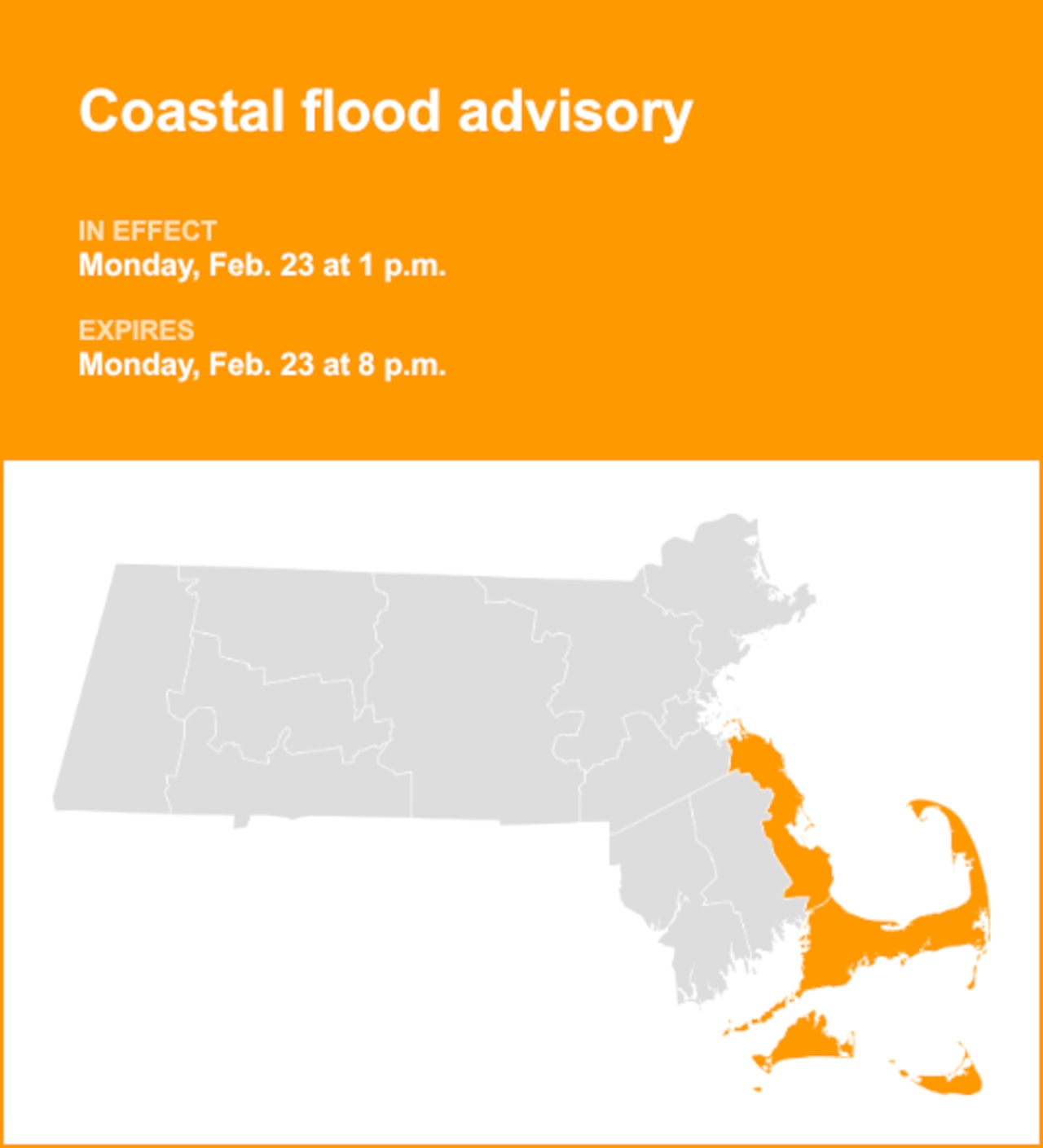


Severe thunderstorms and flooding are possible in parts of Massachusetts Monday.
A hazardous weather outlook has been issued by the National Weather Service for the Berkshires stating the isolated severe thunderstorms could bring damaging wind gusts to the area.
Parts of Western and Central Massachusetts, including Springfield and Worcester, have a slightly higher risk of flooding, according to the National Weather Service.
The rain is expected between 2 p.m. to 10 p.m.
Forecasters also warned about dangerous rip current.
“Rip currents can sweep even the best swimmers away from shore into deeper water,” the weather service said.
Rip currents account for over 80% of rescues performed by surf beach lifeguards, according to Manchester-by-the-Sea and they can be more dangerous than sharks, Senior Fisheries Scientist at the Massachusetts Division of Marine Fisheries Gregory Skomal said. A 2016 Texas A&M University study said rip currents claim 10 times more lives than deaths from shark attacks each year.
Temperatures are expected to become more “fall-like” during the middle of the week before warming back up on Friday.