
Friday began with dangerously cold temperatures across Massachusetts, and it’s not going to get much warmer throughout the day.
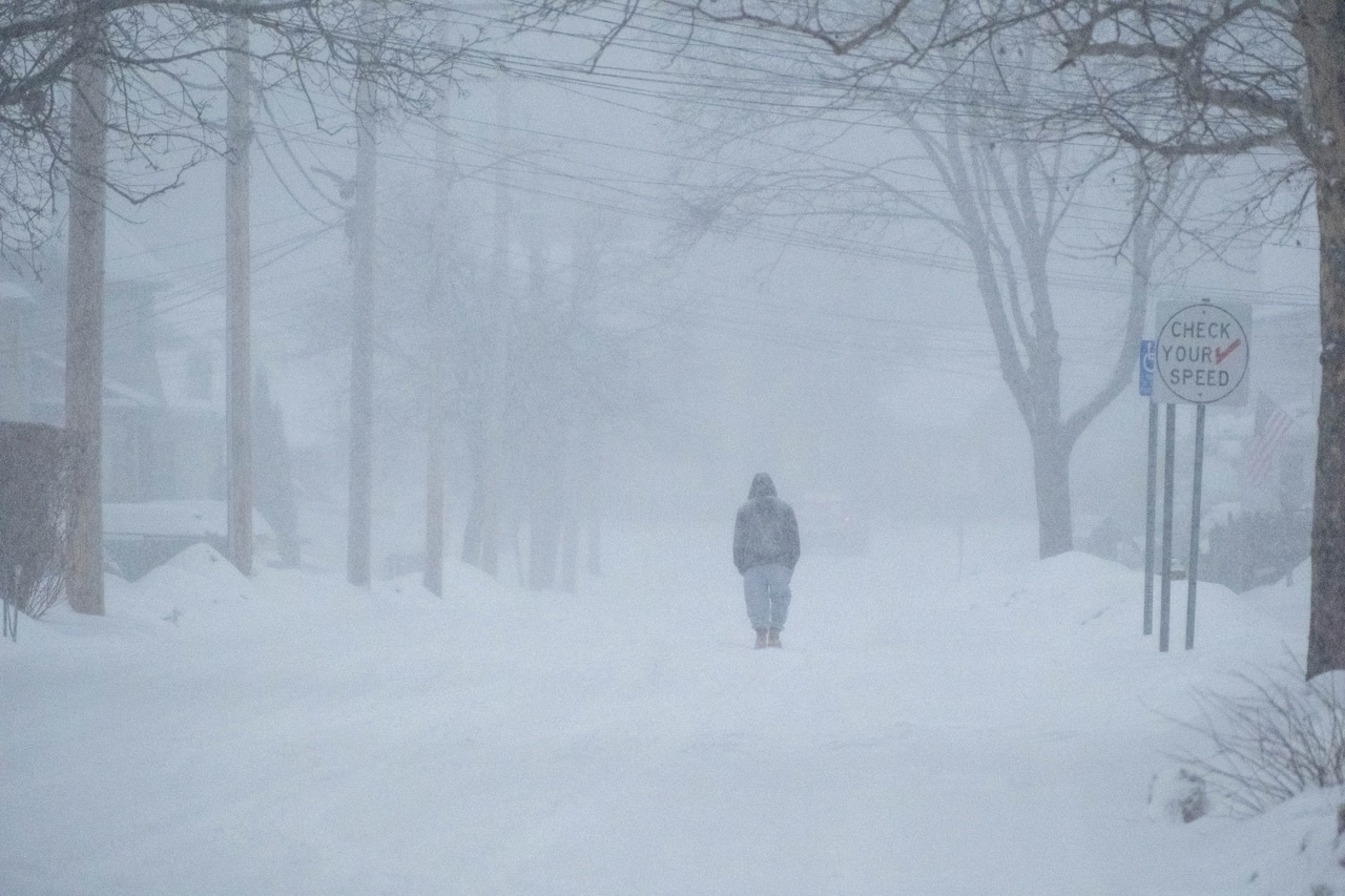
Many residents woke to sub-zero temperatures and even colder wind chills as the state continues to be battered by arctic air. The National Weather Service has issued a Cold Weather Advisory for the entire state, plus an Extreme Cold Warning for Berkshire County.
Wind chill values are expected to reach minus 7 in Boston, minus 13 in Worcester, minus 17 in Springfield and minus 24 in Pittsfield.
According to the National Weather Service, the dangerously cold wind chills can cause frostbite in as little as 30 minutes, so people are urged to stay inside. Anyone who must go out into the elements should dress in layers, including a hat, face mask and gloves.
Boston will see sunny skies but a high temperature of just 15 degrees Friday afternoon, while Worcester and Springfield will linger in the low teens. Cape Cod & the Islands will top out at 16 degrees, while Pittsfield’s expected high is a mere 7 degrees.
Cape Cod & the Islands will bottom out at 7 degrees overnight, while temperatures will plunge below zero everywhere else. Boston will drop to minus 2 degrees, Worcester will hit minus 4 and Springfield and Pittsfield will go as low as minus 7.
Saturday will bring slightly warmer temperatures, but only into the low 20s and high teens. Temps will drop to single digits overnight, with a chance of snow showers.
A potential “bomb cyclone” forming off the coast could deliver another round of snowfall for some areas on Sunday. The National Weather Service calls for an 80% chance of snow on Cape Cod & the Islands, with 3 to 5 inches of snow possible. Boston has a 60% chance of snow, with 1 to 2 inches possible. Central and Western Massachusetts are not expected to see any snow accumulation.


