
Massachusetts residents can expect to see warmer temperatures over the next few days, but a storm predicted to hit the state Thursday night could do some damage, according to the National Weather Service.
Overnight lows in the 20s Tuesday night are expected to give way to high temperatures in the mid 40s and mostly sunny skies the next day, the weather service said. Gusty winds of 25 to 35 mph are possible throughout Massachusetts during the day on Wednesday.
Low temperatures in the mid 20s to lower 30s are predicted for Wednesday night, according to the weather service. But sunny skies and highs in the upper 40s to low 50s are expected on Thursday.
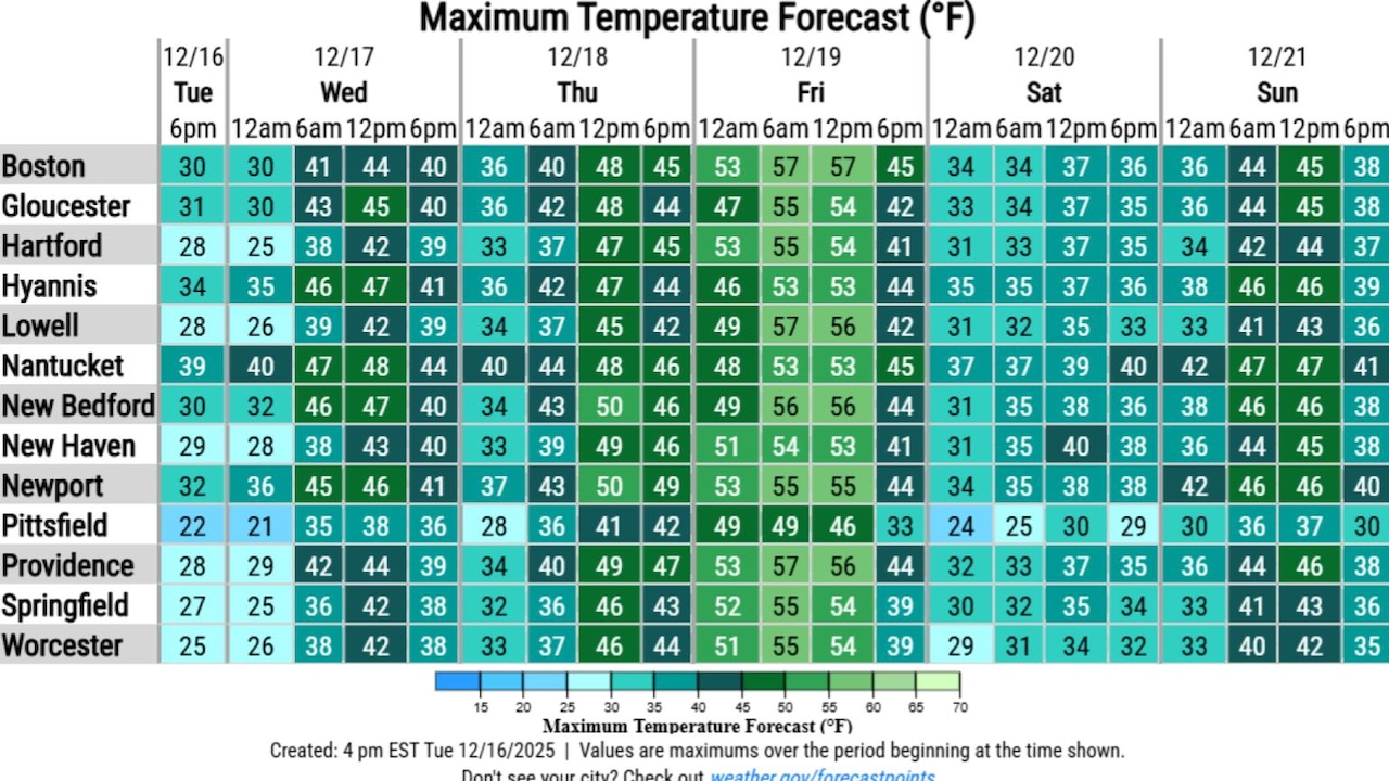
The storm is predicted to reach Massachusetts Thursday night amid lows in the upper 30s and low 40s, according to the weather service. Rain is expected to begin first in the western part of the state around 11 p.m. Thursday, while Central Massachusetts is predicted to see precipitation around 1 a.m. Friday, and areas further east can expect to begin experiencing rain between 2 and 4 a.m.
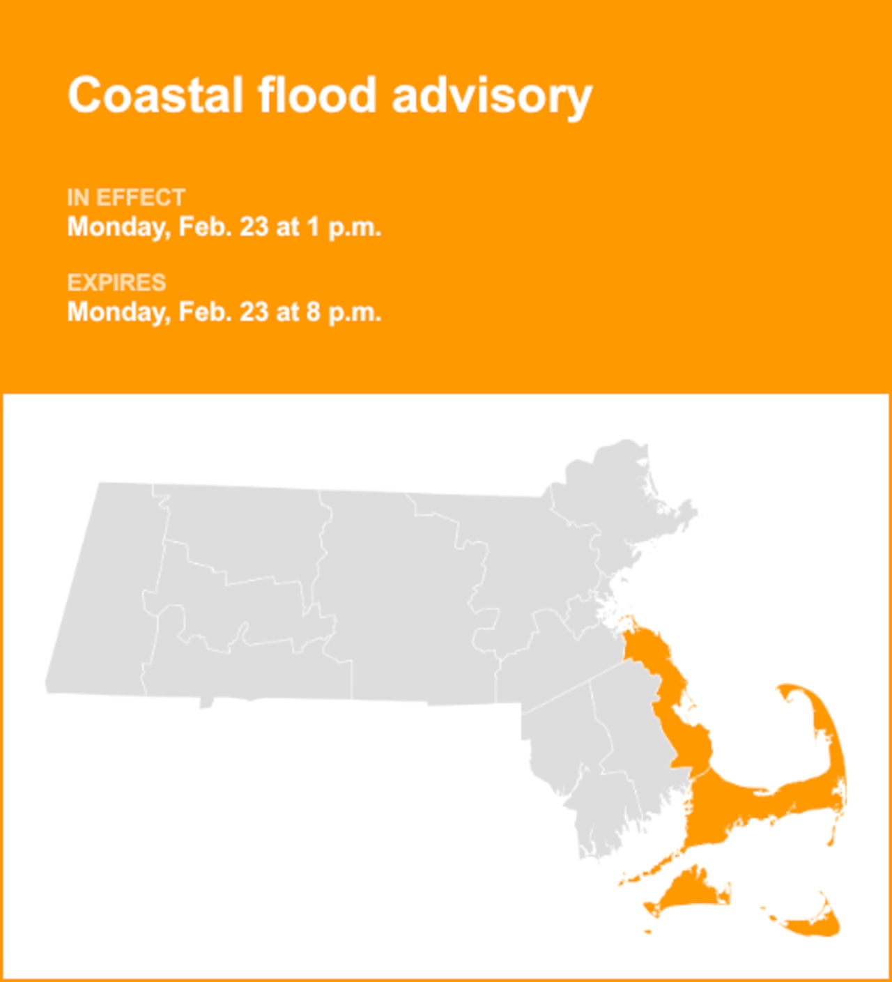
Minor flooding and wind gusts up to 50 mph are possible along the Massachusetts coast during the storm, according to the weather service. Further inland, wind gusts of up to 40 mph are possible.
The heaviest rain is predicted to cease in most of Massachusetts between 3 and 4 p.m. on Friday, with a chance of precipitation continuing until 8 or 9 p.m., according to the weather service. Highs on Friday are expected to reach into the mid 50s.