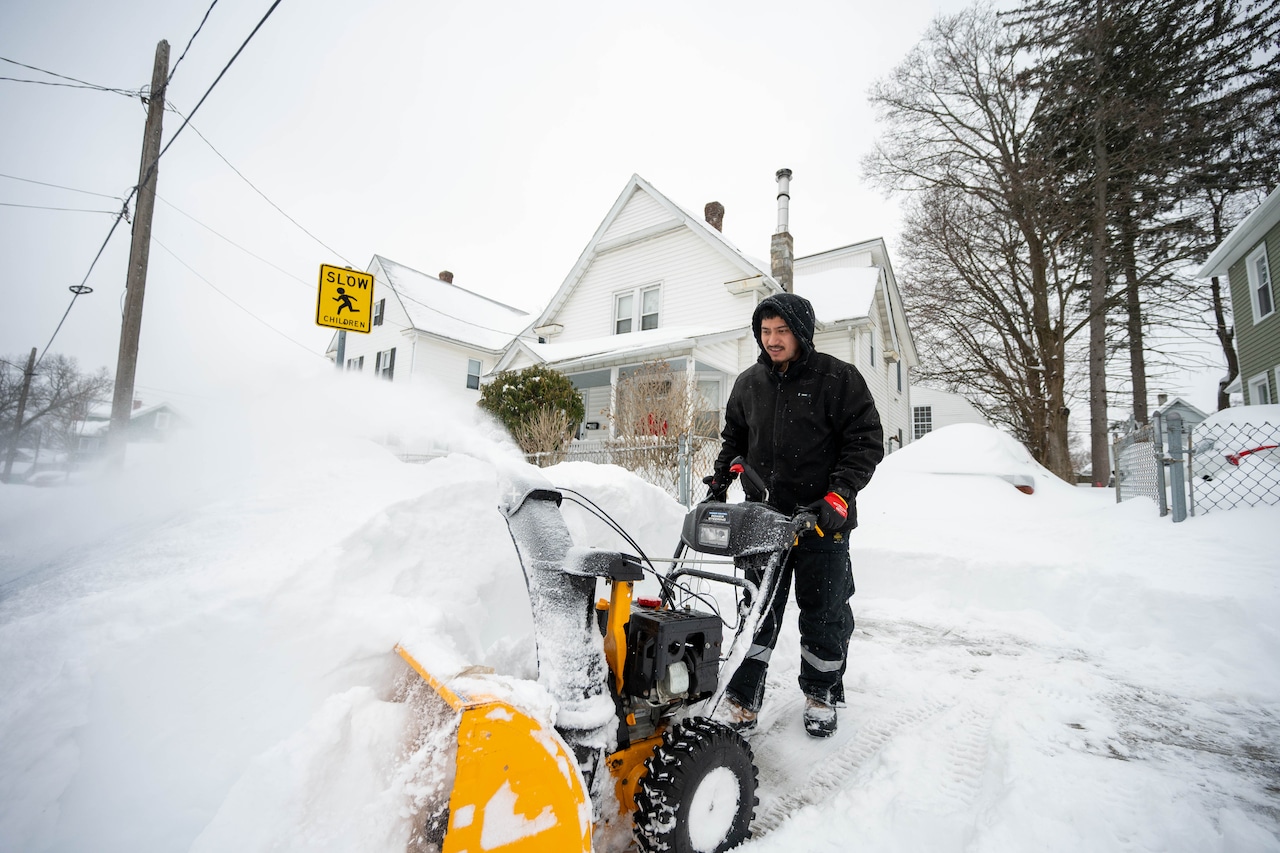


The weekend snowstorm has finally moved on, and while Massachusetts skies should be clear for the rest of the week, temperatures will remain well below freezing.
The entire state will see negative wind chills each day this week as arctic air moves through the region, according to the National Weather Service.
Highs temperatures will reach the high teens to low 20s across Massachusetts on Tuesday, according to the National Weather Service, with sun early and gathering clouds through the afternoon. And that general forecast should hold through Friday, meaning the accumulated snow is going to be with us for a while.
Overnight temperatures will dip to 6 degrees in Boston and 4 degrees in Central Massachusetts, while Western Massachusetts will see negative temperatures. Gusts up to 10 mph will create a wind chill reading of minus 9 degrees in Springfield and minus 5 degrees in Pittsfield.
Looking ahead to the weekend, a coastal storm could bring more snow on Saturday, but it’s too soon for forecasters to reliably predict the track of the storm. There is a possibility it stays out to sea and the impact is minimal, according to the National Weather Service.