
Massachusetts is gearing up for an active weather period this week, with a trio of systems projected to bring snow or mixed precipitation.
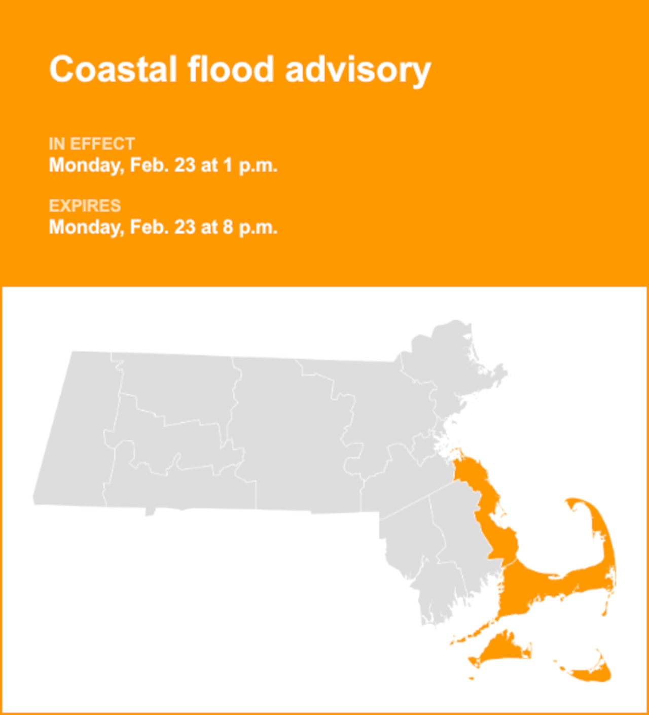
The first system is expected to largely remain south of the Bay State, but there is still a chance for light snowfall on the South Coast and Cape Cod. Some light snow showers along the system’s northern edge are also possible, National Weather Service forecasters say.
Accumulations are expected to be limited, with a coating of less than an inch forecasted for parts of Cape Cod and the South Coast. New Bedford is projected to see less than 2 inches of snowfall.
The system will blank nearly the entire rest of the state, though some areas of the Berkshires could see a light coating. Still, the storm could miss the state entirely, as forecasters say the chance for snowfall is less than 50% and limited to the South Coast, Cape Cod and the Islands.

A National Weather Service map shows projected snow totals on Tuesday. (National Weather Service)National Weather Service
A “notably stronger” system arrives Thursday, bringing a chance for mixed precipitation rather than snow due to warmer air moving in over New England. Temperatures on Thursday could reach the 40s across southeastern Massachusetts and Rhode Island, with temperatures in the high 30s in the interior.
“With the warmer air advecting in with this system, possible snow accumulations still remain low and freezing rain remains a threat, especially in the interior where temperatures may be more marginal,” forecasters wrote.
Another system could move in Saturday night into Sunday morning, but this far out forecasters say the timing, track and precipitation type all remain uncertain.
“The warm air advection associated with this low may also bring a mix of wintry precipitation, which may pose issues considering the colder surface temperatures that will be present before this system arrives,” forecasters wrote.