
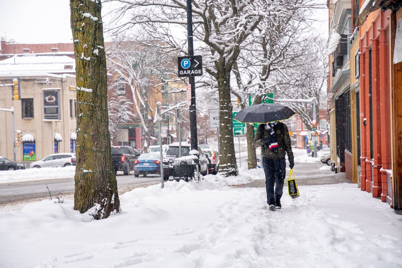
Another round of winter weather is headed for Massachusetts this weekend and with it, more snow is anticipated — but just how much accumulation is expected, and when will it start?
National Weather Service forecasters predicted Thursday morning’s cold temperatures will be enforced by cloud coverage throughout the day, giving the afternoon a chance for scattered flurries or even isolated light snow showers from west to east in the state.
Any snow that does happen on Jan. 16 will be “quite light,” and “not everyone will see snow showers,” forecasters said. “Little if any new snow accumulation is expected, and could probably be better described as festive flakes,” the Weather Service predicted.
Friday has the true possibility of snow accumulations, though the storm system does have the chance for an offshore pass and a “glancing brush,” forecasters said.
The latest predicted accumulation totals as of Thursday morning showed the southeastern part of the state most affected, forecasters showed.
Between 2 and 5 inches of snow are predicted for the South Shore and South Coast, or southeastern Massachusetts, along with Cape Cod and the Islands, forecasters said.
The higher snow totals are expected to be in the north and northwestern part of Barnstable County and along Route 3′s corridor in Plymouth County, the Weather Service said. Norfolk and Bristol Counties are on the lower end of the range, forecasters added.
The snow intensity is expected to increase during and after the Friday afternoon and evening commute, with some localized snowfall rates predicted up to an inch per hour in Plymouth County and Cape Cod. Friday night, ocean effect snow bands are expected to head toward the Cape and the Islands.
Forecasters are waiting for another model forecast cycle to predict whether winter weather advisories for Plymouth and Barnstable Counties will be necessary, and are keeping in mind the possibility of effects on Friday’s commute.
Though light snow is still expected further north and westward in the state, forecasters predicted just a coating of 2 inches with the storm’s “drier northerly flow.” The initial light snows should spread northward toward the tri-state border.
The snow is expected to taper off early Saturday morning, forecasters said.


