
The natural terrain in Massachusetts harkens many to lace up their boots, pack up water and snacks, lather sunscreen and head for the hills.
Weather aside, there’s good news for the avid hikers out there, as National Hiking Day is coming up on Nov. 17. The origins of the day stem from the first manicured hiking trails created in, conveniently, New England, specifically leading up to Mount Washington in 1819, according to NationalHiking.com.
Across the United States, the National Trails System reaches over 88,600 miles long, consisting of 11 National Scenic Trails, 19 National Historic Trails, 1,300 National Recreation Trails and seven side and connecting trails, according to the Pacific Crest Trail Association. In Massachusetts alone, there are 83 listed hiking options on the state’s Department of Conservation and Recreation website.
With so many to choose from, where should you go if you’re keen on taking a hike? With plenty to choose from, AllTrails has a list of the top 10 best hiking trails in Massachusetts, compiled in 2023. Here they are.
One other note before getting to the list: dogs are welcome but must be leashed on all of these trails.
Great Blue Hill at Blue Hills Reservation
With an elevation gain of 816 feet and a three-mile hike located near Milton, this loop takes an average of one hour, 43 minutes to complete, according to AllTrails. The trail is moderately challenging and popular with dog walkers (keep them leashed).
“The hiking trail offers great views of the downtown Boston skyline and Eliot Tower is a fantastic lookout point to see the entire Boston region,” AllTrails wrote. “Although the trail is not too technical, trekking poles can help you keep your footing in tricky and steep areas… Take the stone steps up Hancock Hill and follow the winding footpath over the ridge line to Eliot Observation Tower, which sits atop Great Blue Hill. Climb the tower for a panoramic view.”
Wachusett Mountain via Balance Rock, Old Indian, and Semuhenna Trail Loop
At almost four miles with an elevation of 1,082 feet and located near Westminster, this route in Wachusett Mountain State Reservation is considered moderately challenging by AllTrails. This trail is also great for bird-watching.
“This loop begins from Bolton Road and starts by following the Bolton Pond Trail,” the website wrote. “This will lead to Balance Rock Trail which you will follow briefly before heading up Old Indian Trail. After taking this to the summit, follow Semuhenna Trail to make a small loop near the summit.”
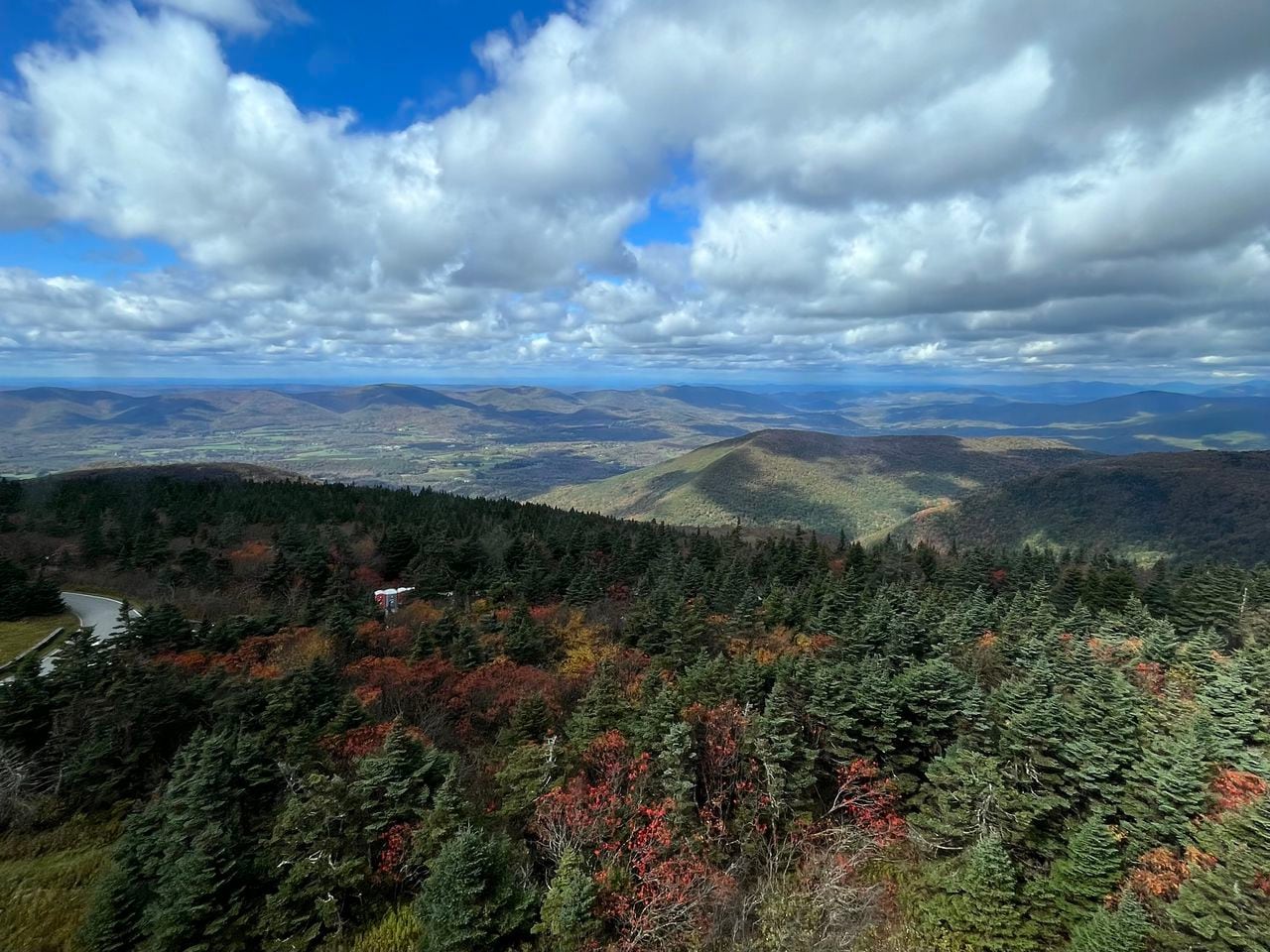
Mount Greylock via Bellows Pipe Trail
Take a six-mile walk up the highest point in Massachusetts (with its elevation gain of 2,244 feet), with a panoramic view where you can see five different states from the top of the mountain or further up, inside the Mount Greylock Veterans War Memorial Tower. AllTrails considers the route challenging and said it should take around four hours to hike the trail.
Visitors should expect other hikers and families gathered at the top, as well as expect a couple of hairpin turns going uphill. The Bascom Lodge is a good rest stop to grab a drink or a snack. The area is also recommended for its fall foliage and sweeping vistas full of color, bordered with sharp pine tree green.
Skyline Outer Reservoir Loop
This moderately challenging loop, located at Middlesex Fells Reservation, is an almost eight-mile trail near Medford that takes three hours and 11 minutes to complete, AllTrails said. The area is popular from March through November.
The loop around the section of Middlesex Fells on the west side of Interstate 93, AllTrails continued. The trail then “passes the south, middle, and north reservoir. The terrain is rolling crossing over the top of Pasture, Winthrop, and Pine Hill.”
- Read more: From Westfield to Yellowstone: The Massachusetts native who explored America’s first national park
Blue Hills Skyline Loop
Just over five miles, this loop trail is considered moderately challenging, AllTrails said. For hikers, it should also take just over two hours to complete. The trail itself is popular with hikers but also for horseback riding and mountain biking.
Parts of the trail capture the Boston city skyline, but be mindful of steep rocky areas along the way. Commenters who hiked so far in November commented on AllTrails’ website that it was still muddy in some areas, but still great before the weather really changes.
Melrose Rock, Black Rock, and Pinnacle Rock via Rock Circuit Loop
This loop near Melrose, considered moderately challenging, is only just over four miles and takes almost two hours to complete, AllTrails said. It’s popular for birdwatching and running, as the trail takes people up and over several hills, “a few small ponds and brooks along the way.”
Mount Watatic and Nutting Hill via Wapack Trail
Open year-round, this trail is around three miles and is considered moderately challenging, AllTrails said. Hikers and walkers should expect to complete it in just over one hour and 30 minutes.
“This loop follows the Midstate Trail to the summit of Mount Watatic, and then proceeds down towards Nutting Ledges while still on the Midstate Trail,” AllTrails said. “At the junction with the State Line Trail, follow this south back towards the parking area. From the summit of Watatic there are views of nearby mountains and ponds, including Mt. Wachusett.”
- Read more: Springfield’s Greenleaf Park to double in size: Splash pad, walking paths and more to be added
Mount Norwottuck
Located near Amherst, the Mount Norwottuck trail is almost three and a half miles in distance and should take hikers almost two hours to complete, AllTrails said. The hike takes people to the highest peak in the Holyoke range, with “commanding views” of the whole Pioneer Valley.
AllTrails does suggest that this trail is good from March to October, though commenters said they hiked in early November. One said that while it was a nice trail, it was “fairly rocky” but the “summit has great views towards Amherst/Umass. Horse Caves fun area.”
Hickey and Peeskawso Peak Loop
At almost two and a half miles and located near Housatonic, this moderately challenging hike should take almost an hour and a half to complete, AllTrails said. Along with hiking, runners and snowshoeing are popular on the trail, depending on the weather.
“This loop offers stunning views of nearby ponds, valleys, and hilltops,” AllTrails said. “In the late spring/early summer months mountain laurel can be seen blooming alongside the trail. The overlook is on top of a cliff, so use caution near the edge. The area is very popular on the weekends, so an early start is recommended.”
Boston’s Freedom Trail
A stark contrast to the nature trails on this list, AllTrails caps of their list with Boston’s Freedom Trail. At just over three miles, hikers and walkers should be able to get from one end of the trail to the other in about an hour. The hike incorporates history that traces the lives and actions of Paul Revere, John Hancock and Benjamin Franklin, passing the site of the Boston Massacre, Faneuil Hall, Old North Church and ends at the USS Charleston.
“If you’re stopping at a few (or all) of the 16 sites, it takes a full day to complete the route comfortably,” AllTrails said. “If you have children in tow, you may want to split the trail into two or more days.”
For more details on each hike, visit AllTrails’ website and plan your trip.


