

Forecasters are looking ahead to a wet, windy storm on track to hit Massachusetts later in the week after a temperate Tuesday.
The daytime on Tuesday is expected to be dry with light winds in the afternoon across the state, which may increase overnight up to 30 mph gusts, according to the National Weather Service.
Temperatures will range from the 20s in the Berkshires and low 30s for the rest of Western Massachusetts, to mid-30s in Central Massachusetts and near 40 on the eastern side of the state.
Wednesday is expected to be much of the same — but forecasters are eyeing a storm system brewing on Thursday.
Winds are expected to pick up during the day on Thursday and turn into a storm overnight. The rain will begin in Western Massachusetts by 10 p.m., then blanket across the state to reach Cape Cod & the Islands by 5 a.m. on Friday.
Forecasters’ primary concern are high wind gusts between 40-50 mph that could pick up Thursday night.
By Friday, when temperatures may warm to the upper 50s, those winds could reach damaging speeds of 60 mph.
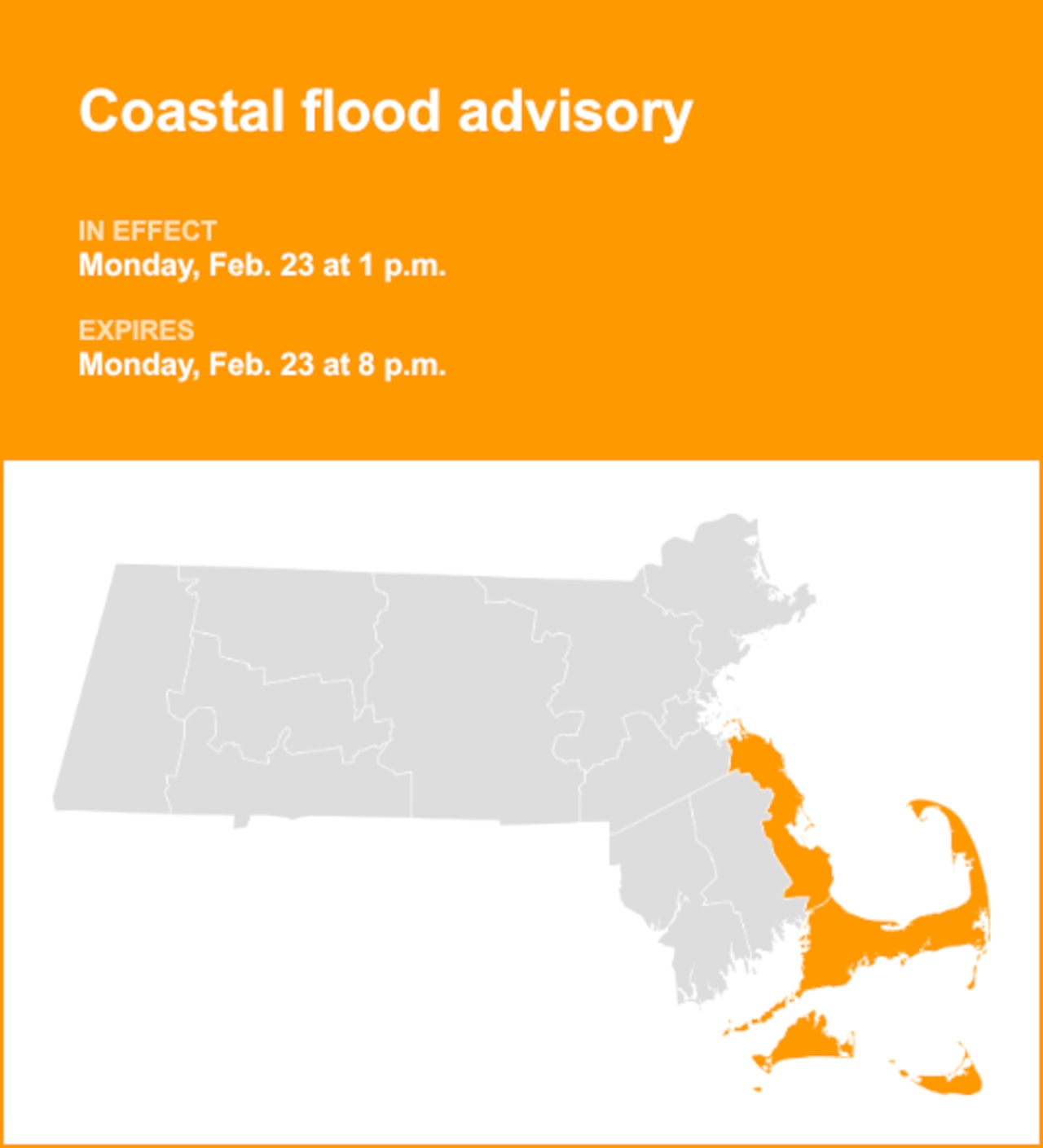
Brief downpours may linger throughout the day on Friday and there’s a chance for coastal flooding, particularly between 6 and 8 a.m., along the southern coastline.
Forecasters are monitoring how the storm will move out on Friday night and when another round of cold air could blast the state over the weekend.