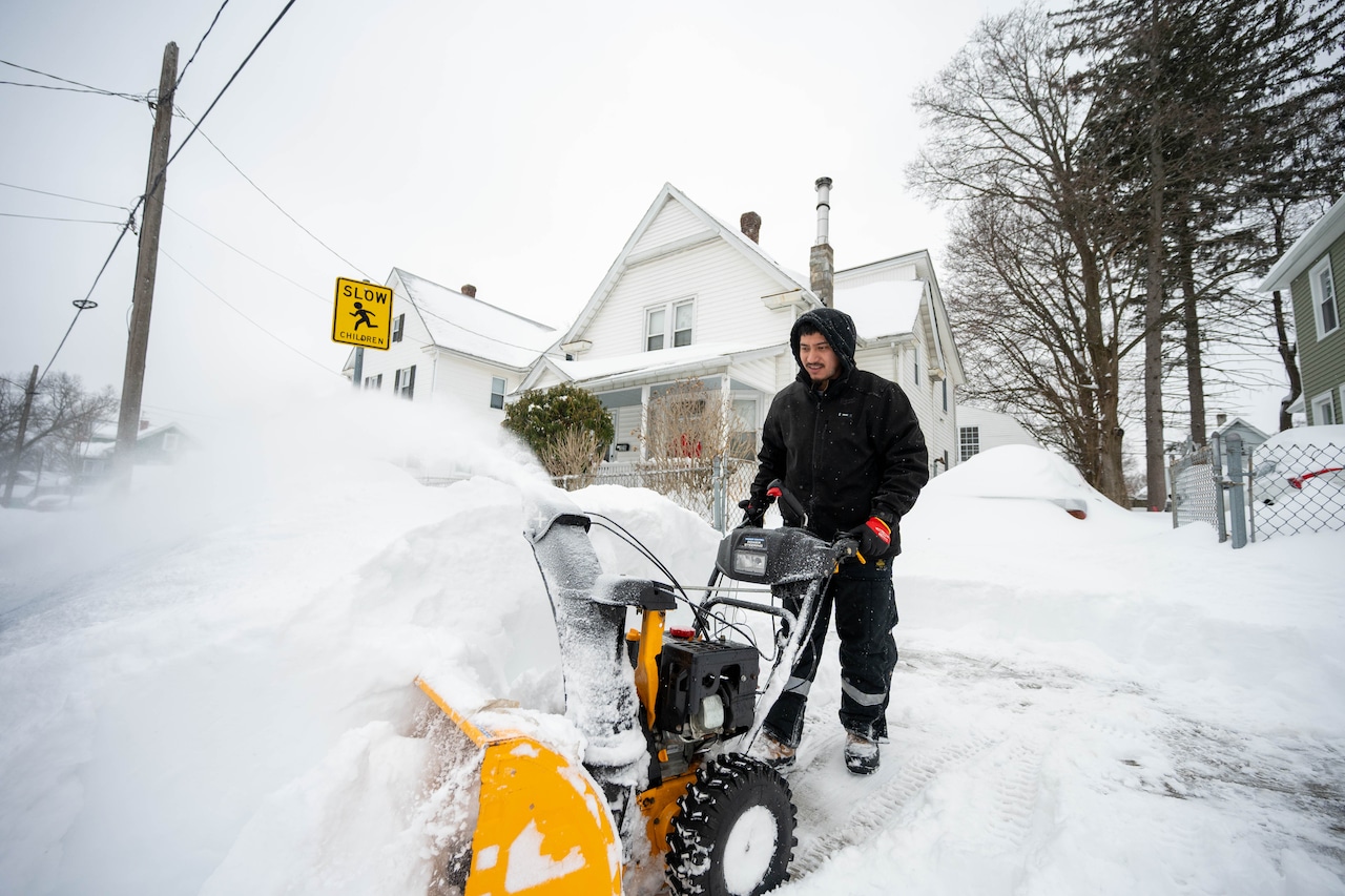


The stretch of colder-than-normal conditions in Massachusetts will continue Wednesday, though temperatures are set to moderate slightly from the wintry blast the state saw on Tuesday.
Across Massachusetts, highs should comfortably clear 40, with Boston, Springfield and Cape Cod seeing temperatures in the mid-to-high 40s. Worcester and the Berkshires will be colder, but still at or above 40, according to National Weather Service forecasters.
Still, it will be cold enough at higher elevations that some snow showers are possible Wednesday morning. There is a chance for some light rain over Cape Cod and the Islands as well.
Most of the state will remain dry, though, with cloudy skies giving way to some afternoon sunshine. Overnight, temperatures should drop to the high 20s or low 30s.
Thursday brings much of the same, with temperatures in the mid to upper 40s and mostly dry conditions. Forecasters “can’t rule out a stray sprinkle or flurry” on Thursday.
The dry and cool conditions will continue on Friday and Saturday, with the chance for a passing flurry or light shower on Friday.
A more significant weather system will move in Saturday night into Sunday, bringing with it mostly rain. Northern parts of the interior of the state could see some brief icing at the onset of the system.
The rain could linger into Sunday morning, but conditions should dry out as a cold front moves through.
Behind the front, more blustery and dry conditions are expected, paired with below-normal temperatures.
If you purchase a product or register for an account through a link on our site, we may receive compensation. By using this site, you consent to our User Agreement and agree that your clicks, interactions, and personal information may be collected, recorded, and/or stored by us and social media and other third-party partners in accordance with our Privacy Policy.