
After a chilly start to Friday morning with temperatures in the 20s and 30s across Massachusetts, the Bay State should see a significant warm-up, with temperatures reaching the 50s or even 60s.
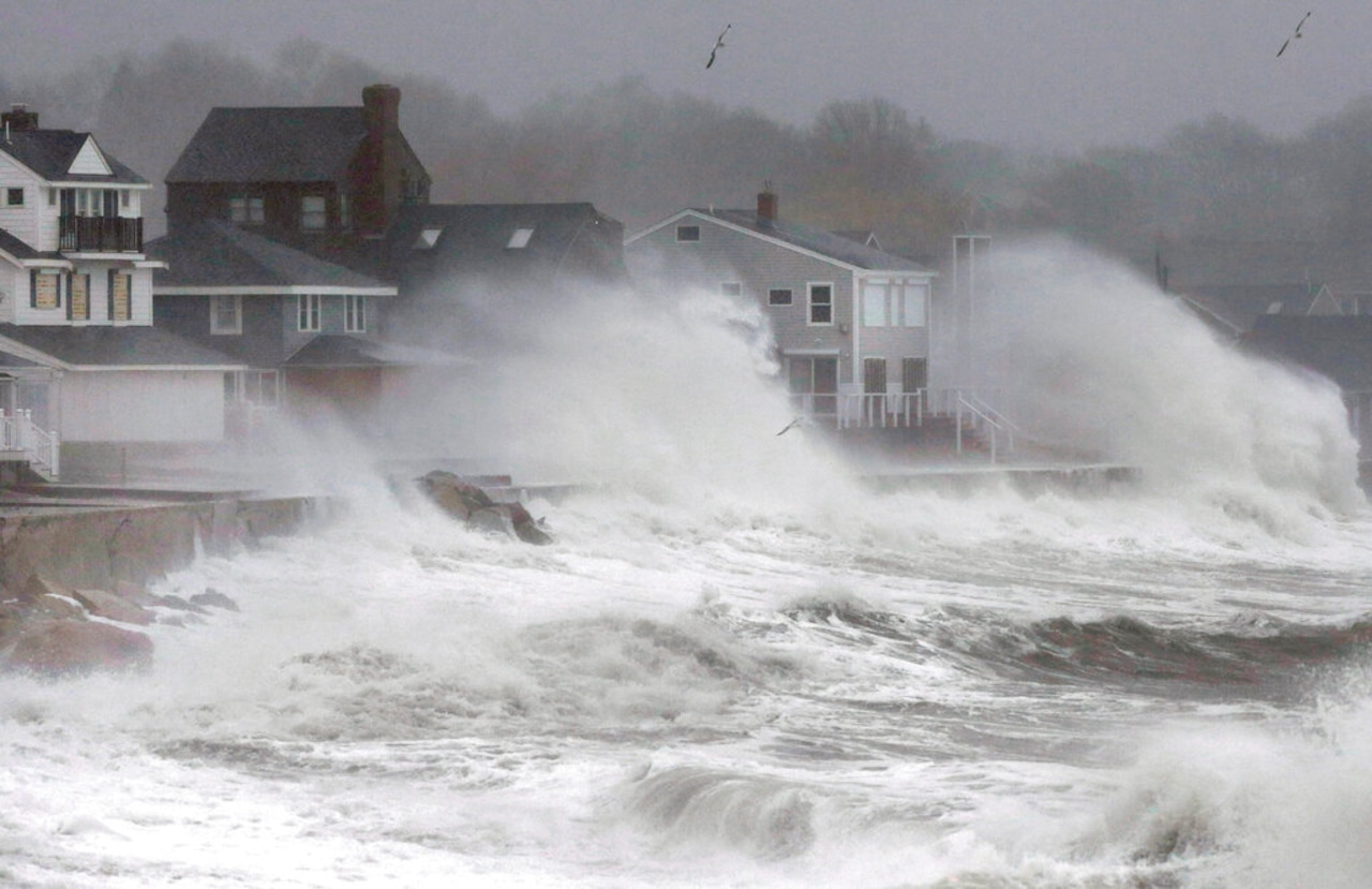
National Weather Service forecasters are warning of the possibility of some light flooding from about 9 a.m. Friday through the afternoon, due to higher-than-normal tides resulting from the Beaver Full Moon. Boston’s high tide, for example, is expected to reach 12 feet. Still, forecasters don’t expect a severe impact.
“Roads remain passable. Shallow pockets of flooding less than one foot deep affect more vulnerable coastal road,” forecasters wrote. “Some splash over onto coastal roads around the time of high tide.”
The Coastal Flood Statement applies to Boston, the North Shore and Cape Cod.
Some rain is expected Friday night in most communities along and northwest of Interstate 95, beginning around 8 p.m. and ending around midnight. Any rain that does fall should total around a quarter of an inch.
“Enough such that if you have evening plans, you’ll have some rain to dodge, but really nothing impactful,” forecasters wrote.
That said, heavier rain showers could fall overnight, along with flashes of lightning and rumbles of thunder.
“Not expecting severe weather but some lightning flashes could be possible around Buzzards Bay/Cape Cod and the Islands,” forecasters wrote.
The steadiest rain will have ended by Saturday morning, but it’s not yet clear when the Bay State will dry out entirely. Cape Cod and the Islands should see showers continuing through the morning, but much of the rest of the state is likely to remain dry.
In the wake of the rain, temperatures will shoot up to about 60 degrees or warmer across much of the state, roughly 10 degrees higher than normal for this time of year.
A fast-moving system will make its way into Massachusetts Sunday night into Monday, bringing with it the next round of rain, with a period of moderate to heavy rainfall appearing likely.
Still, the system should make its way through the state fairly quickly, reducing the risk of flooding. Some showers will linger Monday, but forecasters don’t expect anything significant.
“Bigger story for the start of the week will be below average temperatures,” forecasters wrote. “In fact, we will likely see some of the coldest air so far this season.”
Temperatures should be in the high 30s to low 40s at the start of the week, with little precipitation. That said, there is a chance for some showers or even isolated flurries in higher elevations throughout next week.
If you purchase a product or register for an account through a link on our site, we may receive compensation. By using this site, you consent to our User Agreement and agree that your clicks, interactions, and personal information may be collected, recorded, and/or stored by us and social media and other third-party partners in accordance with our Privacy Policy.


