

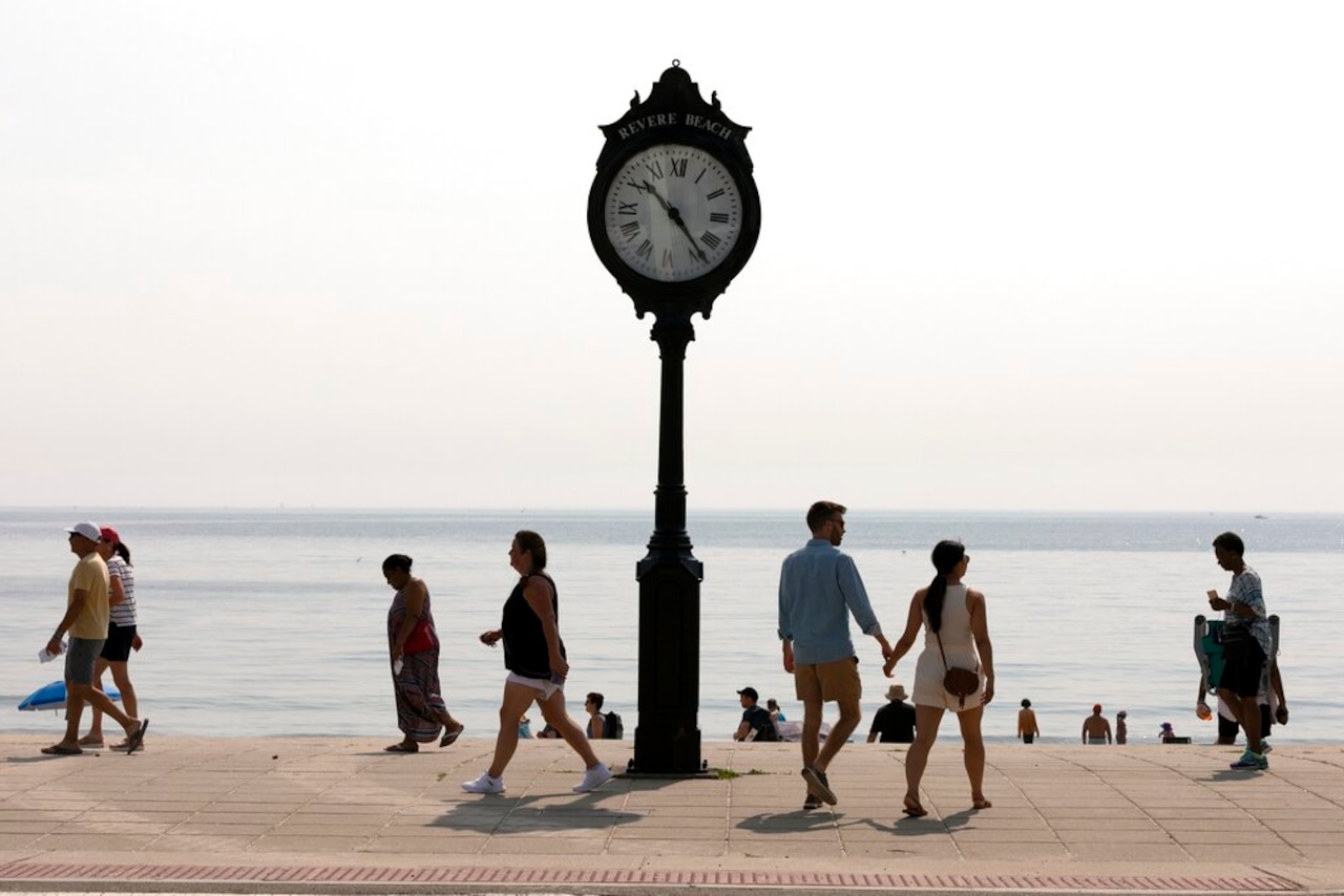
After days of intense heat and humidity, including the hottest June day on record for the state’s largest city, relief finally arrives for Massachusetts on Thursday as temperatures plummet to the 70s.
The “major shift,” as National Weather Service forecasters put it, is due to a cold front moving in from the north. The front brought with it a “much cooler air mass” that will bring temperatures down 5 to 10 degrees Thursday morning. Much of the state will see temperatures on “either side” of 70 Thursday afternoon, aside from the Connecticut River Valley, where it will be slightly warmer.
“So, say goodbye to the heat!” forecasters wrote. “In general, temperatures today are a solid 25 to 30 degrees cooler than last couple of days.”
The cold front also brings with it some hit-or-miss showers expected to linger throughout the morning. Widely scattered rain is expected to pick up later in the day and overnight, but forecasters don’t expect any washouts.
Conditions on Friday are a “near carbon copy” of Thursday, forecasters wrote, with occasional scattered showers and below normal temperatures in the 60s or 70s.
The greatest chance for showers comes Friday night into Saturday, though forecasters say there is still uncertainty with the heaviest rainfall.
“Don`t go canceling any outdoor events just yet,” forecasters wrote.
The summer warmth returns on Sunday with highs in the low 80s. Temperatures will continue to climb early next week, possibly reaching the low 90s, forecasters wrote.




