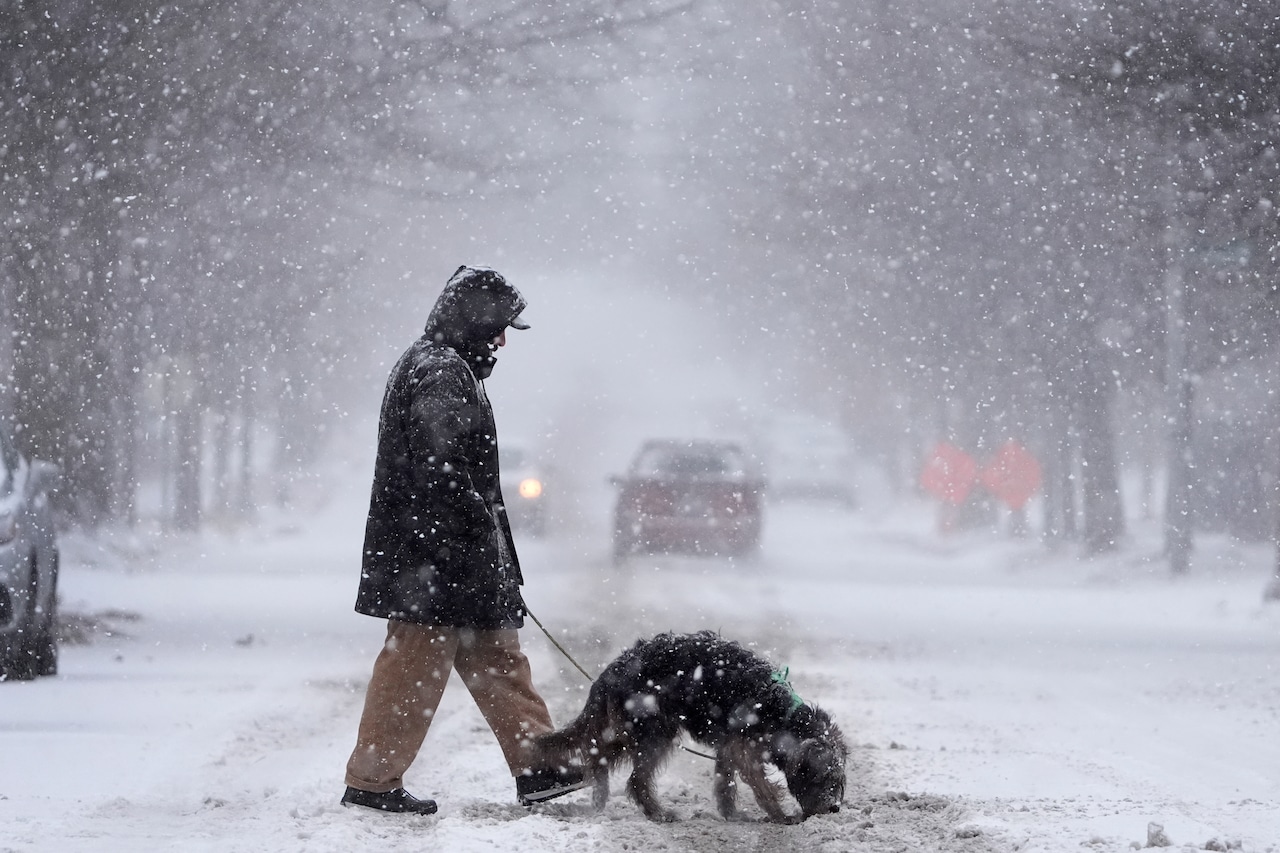
The chances of a significant winter storm bringing three or more inches of snow to Massachusetts have dropped to about 20% in the most favorable model, according to the National Weather Service.
“Guidance is even less enthused tonight than it was last night with the potential for a high-impact winter storm in the Saturday time frame,” forecasters wrote. “[Models] are just not favorable for this storm system.”
As the storm track develops, it is becoming less likely that streams of energy from the north and south will interact to create a major storm over New England, forecasters said.
One model puts the chances of 3 or more inches of snow at zero, while another that previously put the chances at around 40% to 50% dropped the chance to between 10% and 20%, forecasters said.
AccuWeather Chief Meteorologist Jonathan Porter put the chances of a significant storm set to impact the southeastern part of the county reaching New England at about 15%.
“Not only would such a storm bring a substantial amount of snow to cities such as Washington, D.C., Baltimore, Philadelphia, New York City, and even Boston from Saturday to Saturday night, but it would also increase winds along the coast on par with a major nor’easter,” Porter said. “However, this scenario is much less likely … but still poses enough of a threat to be monitored closely.”


