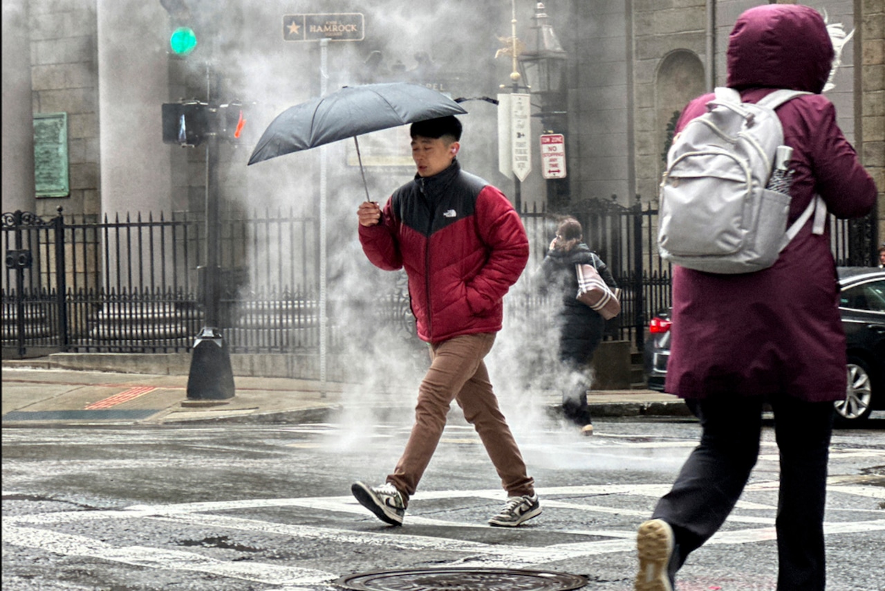
A fast-moving weather system is expected to bring widespread rainfall to Massachusetts on Wednesday, and in some parts of the Bay State, that rain will fall as snow.
Forecasters say the precipitation should arrive between about 5 p.m. and 7 p.m. in Western Massachusetts before drifting east. The eastern part of the state should see rain arrive between 7 p.m. and 10 p.m., according to the National Weather Service.
The system will bring with it a blast of cold air, dropping overnight lows to the high 20s or low 30s in the interior and mid to upper 30s along the coast.
The combination of the colder air and the precipitation means that some northern parts of the state could see a mix of snow and rain up to a coating of about an inch of snow. In Worcester, a few wet snowflakes may mix with the rain, but not nearly enough to lead to any accumulation.
Areas along Route 2 and north, particularly cities and towns on the border with New Hampshire, should see a coating of about an inch of snow. The story is much the same in the Berkshires, though forecasters say areas at or above 1,000 feet could see 2 inches.
Showers are set to exit the region between about 1 a.m. and 3 a.m., giving way to a dry, seasonable and breezy day Thursday.
The next chance for snow comes late Friday into Friday night, with light accumulations predicted. But forecasters say there is a chance for more snow depending on the track of an offshore storm.


