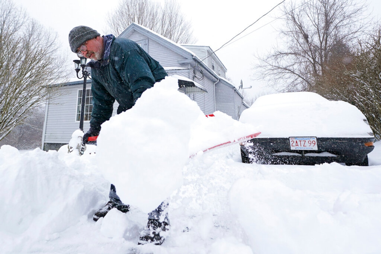
For the second weekend in a row, a storm is expected to bring plowable snowfall to Massachusetts and New England.
The system arriving Saturday afternoon will bring snow to start, but rising temperatures are likely cause the precipitation to switch to ice then rain by about mid-morning Sunday. National Weather Forecasters say between 2 and 6 inches of snow could fall, with the highest accumulations north of the Massachusetts Turnpike.
The snow is expected to arrive in the afternoon to early evening, increasing from west to east. Precipitation should fall as snow until about 1 a.m. Sunday morning, when a warm front will support the transition to a wintry mix.
The South Coast and parts of Eastern Massachusetts are likely to see rain on Sunday afternoon. But forecasters say there is a chance cold air could remain in place over higher elevations and in the interior, driving up the likelihood of freezing rain.
“Models vary enough in temperatures to bring uncertainty in how this evolves and how long it may stay as freezing rain across the interior, or potentially sleet a bit longer along the north border,” forecasters wrote. “We can at least seefreezing rain in these areas Sunday morning, but confidence will drop off for Sunday afternoon for precipitation type.”
By Monday, the precipitation is expected to give way to “anomalously high” winds. An airmass settling in over the state is expected to drive temperatures down, with highs in the 20s by Tuesday.