
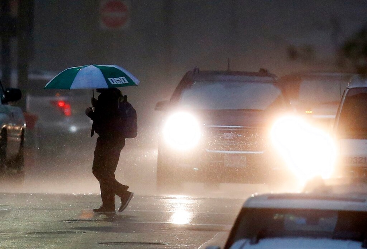
Massachusetts could see numerous showers and thunderstorms beginning Monday afternoon, with almost the entire state at risk for severe storms, according to National Weather Service forecasters.
Some of those storms could be capable of producing severe weather and heavy rain, forecasters wrote.
Boston, Worcester and Springfield are all at a slight risk for severe thunderstorms
on Monday, according to the weather service. That risk extends to Newburyport, Amherst and Hyannis.
Those areas could see damaging wind, large hail, heavy rain and urban street flooding between noon and 9 p.m. on Monday, forecasters say.
The primary threat from Monday’s storms is what forecasters described as “severe hail of 1 inch or greater,” with damaging wind a close second. Those threats are expected to hit the state at around 1 p.m. on Monday.
The severe threat is then expected to wind down between 7 p.m. and 8 p.m. Monday, with thunderstorms lingering until about 9 p.m. or 10 p.m.
Looking ahead to Tuesday, forecasters say quiet and warm weather will return to the Bay State, with high temperatures in the low to mid 80s and mostly sunny skies.
And forecasts say Wednesday will have the highest likelihood of impact weather of any day this week, with warm and humid air settling and potentially pushing temperatures to 90 degrees or warmer.
Forecasters warned that on top of the heat and humidity, “all the ingredients are there for another round of thunderstorms.”


