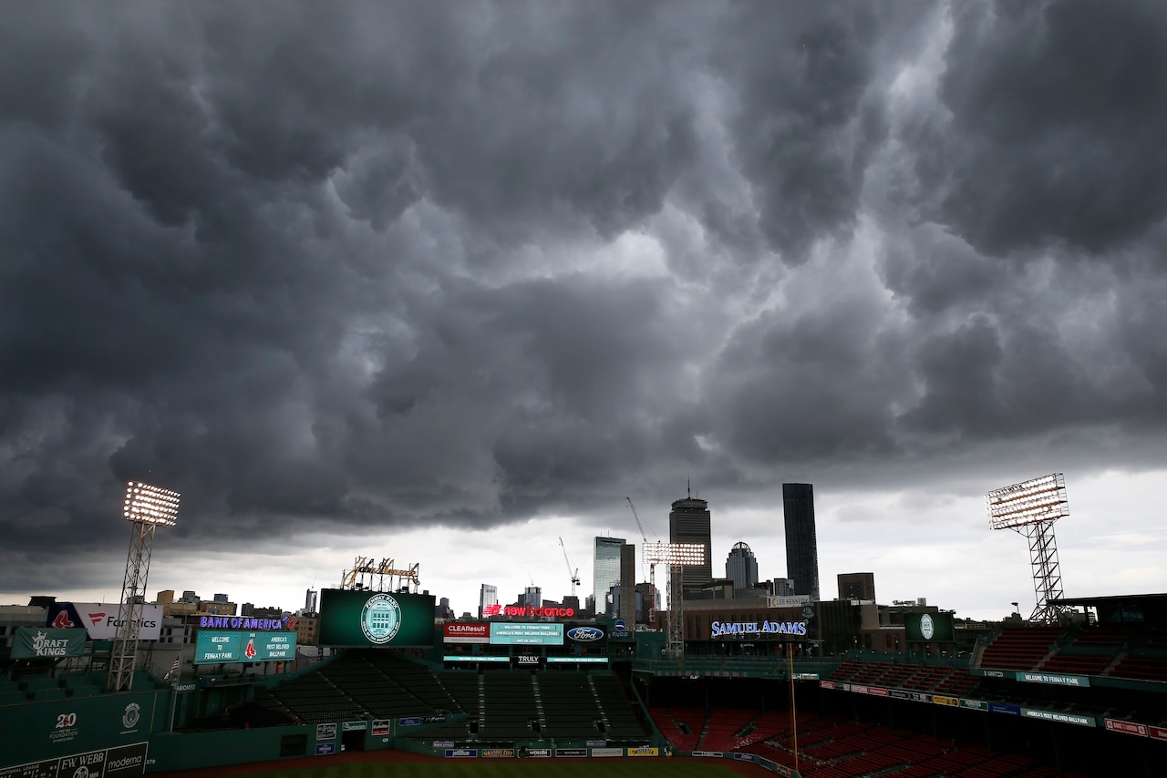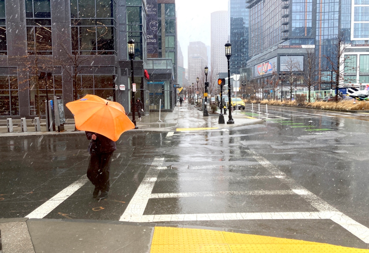
Massachusetts residents could see some extremely hot weather next week, but not before parts of the state possibly see some rather wet weather.
Starting Friday night, rainfall totals of 2 inches could be seen across parts of the state, according to the National Weather Service. Some models suggest there could be downfalls of 2 inches per hour, running the risk of poor drainage and urban flooding. The heaviest rainfall is expected to move from southwest to northeast between 6 a.m. on Saturday to noon.
But forecasters also warned that the heaviest rainfall could be seen along the south coast and the Islands, where rainfall totals could be between 3 and 5 inches.
Some places are expected to see rainfall hit before certain times. Boston could see showers and thunderstorms before 2 p.m. on Saturday, with a chance for them to come back before 3 p.m., forecasters said. Worcester could see similar conditions an hour earlier, while Springfield could see these conditions before 1 p.m. Each of these cities can anticipate rainfall lower than 1 inch.
With the risk of heavy rain at play for some areas, a flood watch was issued by the weather service covering most of the state except for the Cape and Islands. This flood watch will be in effect from Friday to Saturday night.
“Excessive runoff may result in flooding of rivers, creeks, streams, and other low-lying and flood-prone locations. Flooding may occur in poor drainage and urban areas,” the flood watch read. “…You should monitor later forecasts and be alert for possible flood warnings. Those living in areas prone to flooding should be prepared to take action should flooding develop.”
Temperatures on Friday should stay warm in the low 70s before building back up again into the low to mid-80s Saturday morning, forecasters said. Cloud cover should leave parts of the state feeling cooler, though conditions should clear up by the afternoon, especially across parts of western Massachusetts.
By later on Sunday, forecasters expect temperatures to climb, setting up the rougher heat by midweek, according to the weather service in a post on X. Heat indices could leave cities like Boston in “oppressive heat,” feeling like 90 degrees, Worcester feeling like 91 degrees and Springfield feeling like 94 degrees.
Heat indices climb going into Monday and peaking on Tuesday, with temperatures in Boston feeling like 103 degrees, feeling like 102 in Worcester and feeling like 104 in Springfield, forecasters said.
By Wednesday, it could still feel like the upper 90s but heat indices should drop by Thursday, leaving temperatures feeling much cooler in the 70s and 80s.
Forecasters anticipate some rainy weather late on Monday going into Tuesday, though it is likely to be isolated. The day that could see the rainiest conditions could be Wednesday.
“Something to watch at the very least,” forecasters said.


