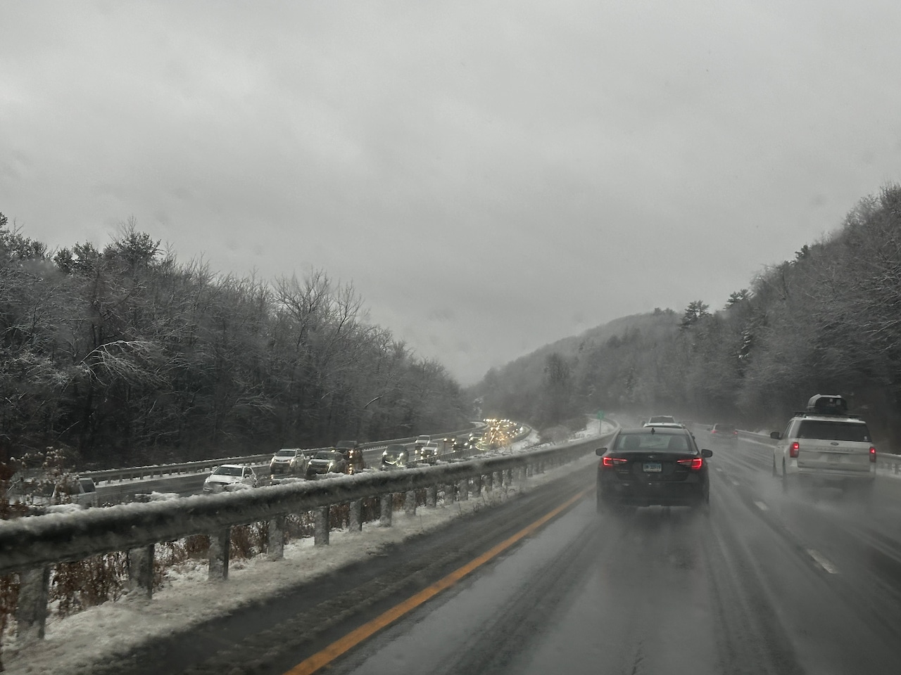
Parts of Massachusetts saw as much as 5 inches of snowfall as a storm drenched the rest of the state with rain on Thanksgiving.
While previous forecasts said rain should diminish going into the afternoon or early evening, rain continues to pour across the state. Rain should cease falling as the storm exits Eastern Massachusetts between 6 and 8 p.m., according to the National Weather Service.
Precipitation should decline from accumulations reaching 1 and a quarter inches to one-third of an inch, forecasters said.
Northwestern winds should bring colder air, which “may pose a concern for interior locations where lingering moisture from today’s rainfall could freeze up and cause hazardous road conditions overnight,” forecasters said.
Snow fell across parts of New York, Vermont, New Hampshire and around the Berkshires in Western Massachusetts. Ashfield saw 2 and a half inches of snow, while Goshen and Middlefield saw 3 inches of snow, according to the National Weather Service. Hawley saw 3.8 inches of snow, Charlemont saw 4 inches and Plainfield saw 5 inches of snow.
Overnight temperatures should drop in the upper 20s and low 30s, forecasters said.
After Thursday’s storm, forecasters anticipate dry conditions on Friday. Massachusetts should see a mix of clouds and sun, though a cooler air mass should leave temperatures cooler in the high 30s and mid-40s, with overnight lows in the 20s.
Going into the weekend and next week, below-normal temperatures with highs struggling to reach 40 degrees, forecasters said.
There is a low chance that rain and snow come to the Cape and Islands close to Thursday, along with the possibility that most of the region “sees some light snow/flurries by Thu as a weak warm front lifts through New England but at this point, it does not look very impactful,” forecasters said.