Massachusetts is expected to see precipitation the rest of the week, beginning with some snow on Tuesday, according to the National Weather Service. But higher temperatures are coming towards the end of the week, meaning that rain will likely dominate for most of that time.
By Monday morning, temperatures across Massachusetts began returning to their normal levels, according to the weather service. Highs during the day are predicted to react the mid 30s amid mostly sunny skies, and lows overnight are predicted to dip into the upper 20s.
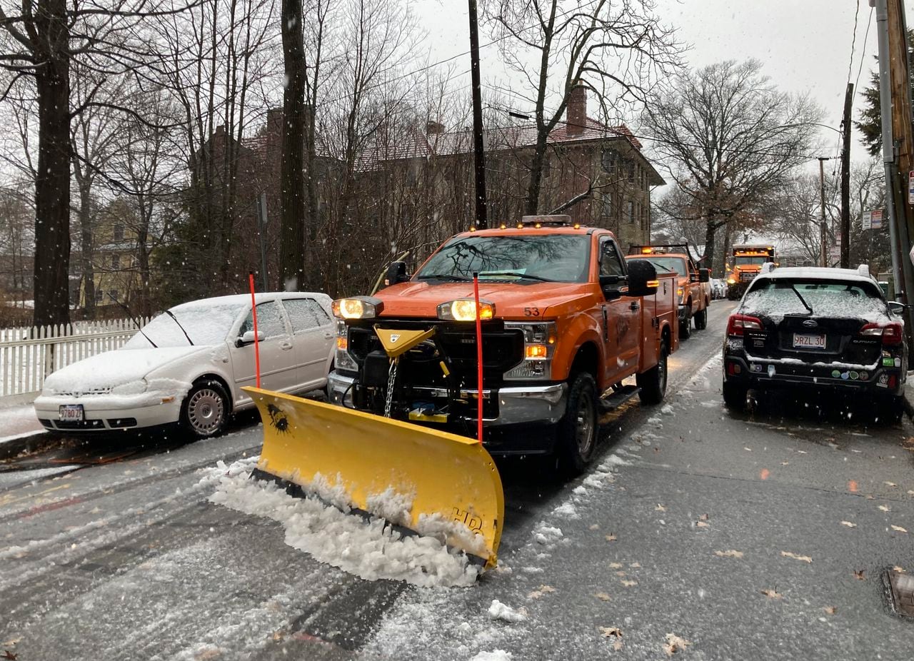
But the clear weather won’t last. Massachusetts is expected to receive a dusting to an inch of snow over the course of the day Tuesday and overnight before the precipitation switches to rain sometime Wednesday morning, according to a weather service forecaster. The snow is expected to begin in the western half of the state Tuesday afternoon and spread across the rest of it by that evening.
Even so, the snow is predicted to be light. The forecaster said that, though there may be some sleet Wednesday morning, this snow event isn’t expected to be as disruptive as some of the state’s most recent dumpings.
Following the snow, the weather system will remain stalled over the northeast, and several other weak low pressure systems will move along that front, the forecaster said. This is why the rain is expected to stick around through Friday.
Predicted highs this week are expected to increase day to day, with highs in the mid 30s expected Tuesday, highs in the upper 30s expected Wednesday, highs in the mid 40s expected Thursday and highs in the low 50s expected Friday, according to the weather service. Lows overnight are also predicted to be warmer as the week progresses, from predicted lows in the upper 20s Tuesday night to predicted lows in the high 30s Thursday night.
Right now, the weekend looks fairly clear, with highs across the state expected to reach the low to mid 40s on Saturday and Sunday, according to the weather service.


