Almost all of Massachusetts is under a severe thunderstorm watch on Thursday as forecasters expect hail, damaging winds and even some tornadoes to converge on parts of the Commonwealth.
The National Weather Service said the watch was in effect until 8 p.m. and covers Berkshire, Franklin, Middlesex, Suffolk, Bristol, Hampden, Norfolk, Worcester, Essex, Hampshire and Plymouth counties.
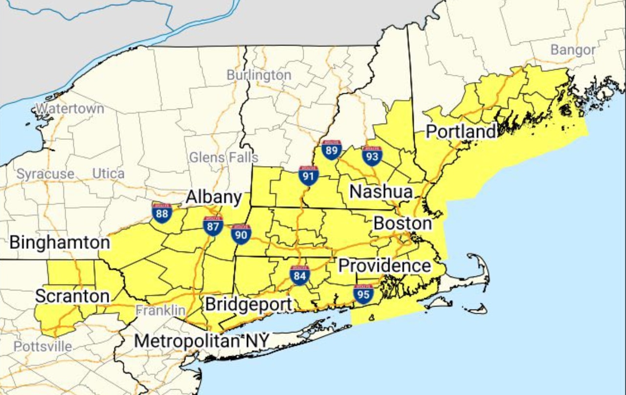
The watch map tweeted by the weather service extended well past Massachusetts, stretching from southern Maine down through southern New Hampshire and Vermont, all throughout Rhode Island and Connecticut and into southeastern New York and northeastern Pennsylvania.
Threats attached to this watch include tornadoes, hail and wind. Tornadoes are expected to be brief, forecasters said, though they are “uncommonly experienced in Southern New England, and the potential for brief tornadoes and straight-line wind damage is a credible risk in environments like this one.”
“If you do have plans outdoors, it’s vital to keep an eye to the sky and to have multiple ways to receive later statements, and that’s especially true in western interior sections of Massachusetts and Connecticut where the greatest potential for severe weather exists,” forecasters added.
Hailstones could potentially reach the size of quarters, the watch said. Forecasters said that the risk for hail, which stretches across all of Western Massachusetts and Central Massachusetts, is fairly limited.
Winds could see scattered gusts upwards of 75 mph, the watch said.
This comes as rainfall levels between 1 and 2 inches are possible, while a heat advisory is in place as temperatures between Thursday and Friday are expected to rise between 95 and 100 degrees.
All of these risks could come into contact with over 17 million people living across the Northeast, according to the weather service.