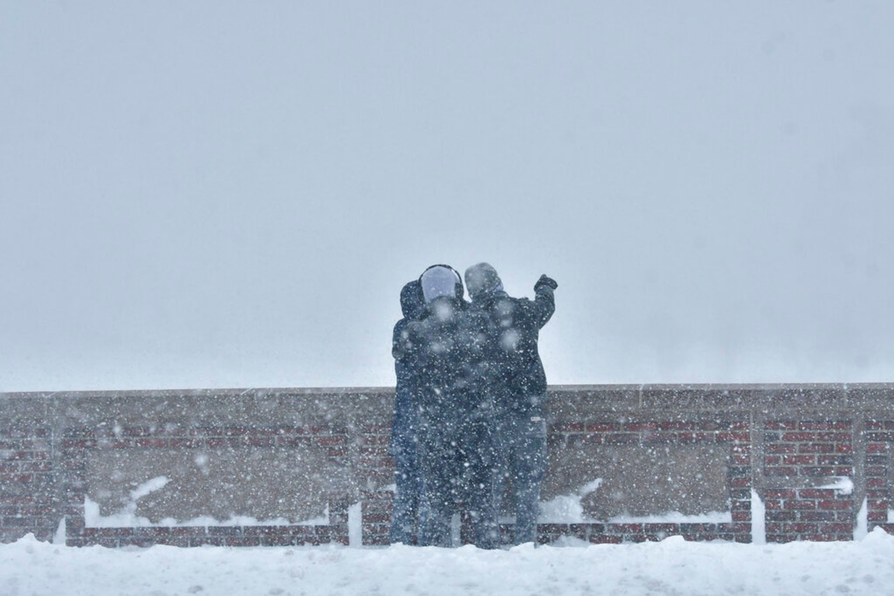
Massachusetts could see between 2 and 6 inches of snow on Sunday night as a storm system barrels toward the Bay State.
While National Weather Service forecasters say the exact track of the storm remains uncertain, it is increasingly likely that Massachusetts will see accumulating, plowable snowfall later Sunday into Sunday night. As of Friday morning, the weather service was predicting snow totals of about 4 inches in Boston, Worcester and Plymouth, with snow of about 3 inches falling in Springfield and Pittsfield in the western part of the state.
The chances of seeing more than 6 inches of snow were low, but not zero, with forecasters giving a roughly 25% chance for half a foot across the Bay State.
The snow should start falling late Sunday afternoon — after about 4 p.m. in Boston and Springfield. Forecasters predict snowfall to start slightly earlier, after about 2 p.m., in Worcester.
Steady snowfall should be over by the time the sun comes up Monday, giving way to an arctic airmass that will likely bring the coldest temperatures seen in the state in more than a year. Overnight lows on Monday will fall to the single digits, while high temperatures on Tuesday and Wednesday likely won’t climb out of the high teens or low 20s. Blustery winds will drop wind chills below zero.


