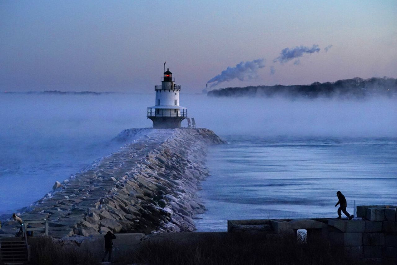
The groundhog predicted an early spring this year, but cold weather could be back in force later this month. February could yet again see a polar vortex coming to the Bay State.
Research from Verisk Atmospheric and Environmental Research suggests a “polar vortex disruption” could impact parts of the United States in mid-February.
Judah Cohen, who conducted the research for Verisk, wrote on the company’s website that there are three types of polar vortex disruptions: true vortex disruptions, polar vortex splits and vortex stretchings. In an update to his research, Cohen said on Jan. 31 that there is the potential for vortex stretching, the lesser of the three, that could bring “backdoor cold air to not only East Asia but the Canadian Maritimes and the northeastern U.S. as well.”
“On a personal note, it has been a dreary stretch of weather here in Boston, I can’t remember such a long stretch of cloudy weather,” Cohen added.
What is a polar vortex?
A polar vortex is a large area of low pressure and cold air surrounding both of the Earth’s poles, according to the National Oceanic and Atmospheric Administration, or NOAA. During the winter, the polar vortex expands across the Northern Hemisphere and sends arctic air southward by jet stream.
The polar vortex should bring colder weather to regions east of the Rocky Mountains for the second half of February, “relatively much colder than the current weather pattern across North America,” Cohen wrote.
The polar vortex is also set to expand across as far east as Siberia and as far west as northern Europe, he continued. By around Feb. 15, the tightly wound polar vortex should elongate before splitting around Feb. 20 as it moves south into Europe, east Asia and North America.
Part of the polar vortex should dip downward across Canada and reach parts of the northern United States, including Michigan, New York and New England, according to Cohen’s data. As for how cold, forecast maps following Cohen’s data show temperature drops for parts of New England dipping down between highs of 14 and 23 degrees.
A cold Valentine’s Day
NOAA’s 8-14 day forecast maps show that temperatures should drop “below normal” for the whole East Coast between Feb. 13 and 19. For context, the polar vortex that stretched over New England in February 2023 delivered an arctic blast that brought dangerous windchills of 25 to 50 degrees below zero. This meant temperatures dropped to as low as 5 to 15 degrees below zero across Massachusetts, with windchills making the weather feel closer to minus 30 to 45 degrees.
In contrast, meteorologist Joe Dellicarpini told MassLive if the polar vortex stretches toward Massachusetts, it is “not looking like a full arctic outbreak.”
The February 2023 arctic blast “was very short-lived. It’s looking like we should have colder weather around Valentine’s Day, but I’m not sure if this current one will settle over a few weeks. It could retreat in a few days. This doesn’t look like it will be extreme but it’s tough to say at this point. It could last until President’s Day (Feb. 19).”
‘Expect the unexpected’
On average, Dellicarpini said that the average temperatures in Massachusetts are closer to 40 degrees on the coast and in the mid-30s in the interior, while overnight lows are in the 20s.
“In the few days prior (to the polar vortex’s arrival,) we’ll have confidence about its longevity,” he said.
Weather models agree that a polar vortex stretching is in store for mid-February, Cohen said. However, given that his original research suggested it would be rather weak and “very mild,” Cohen admitted that the “forecast can be very volatile, and this could all be a big head fake.”
“But if I have learned nothing else, other than be humble, from writing the blog for ten years now,” Cohen wrote, “it is – expect the unexpected.”


