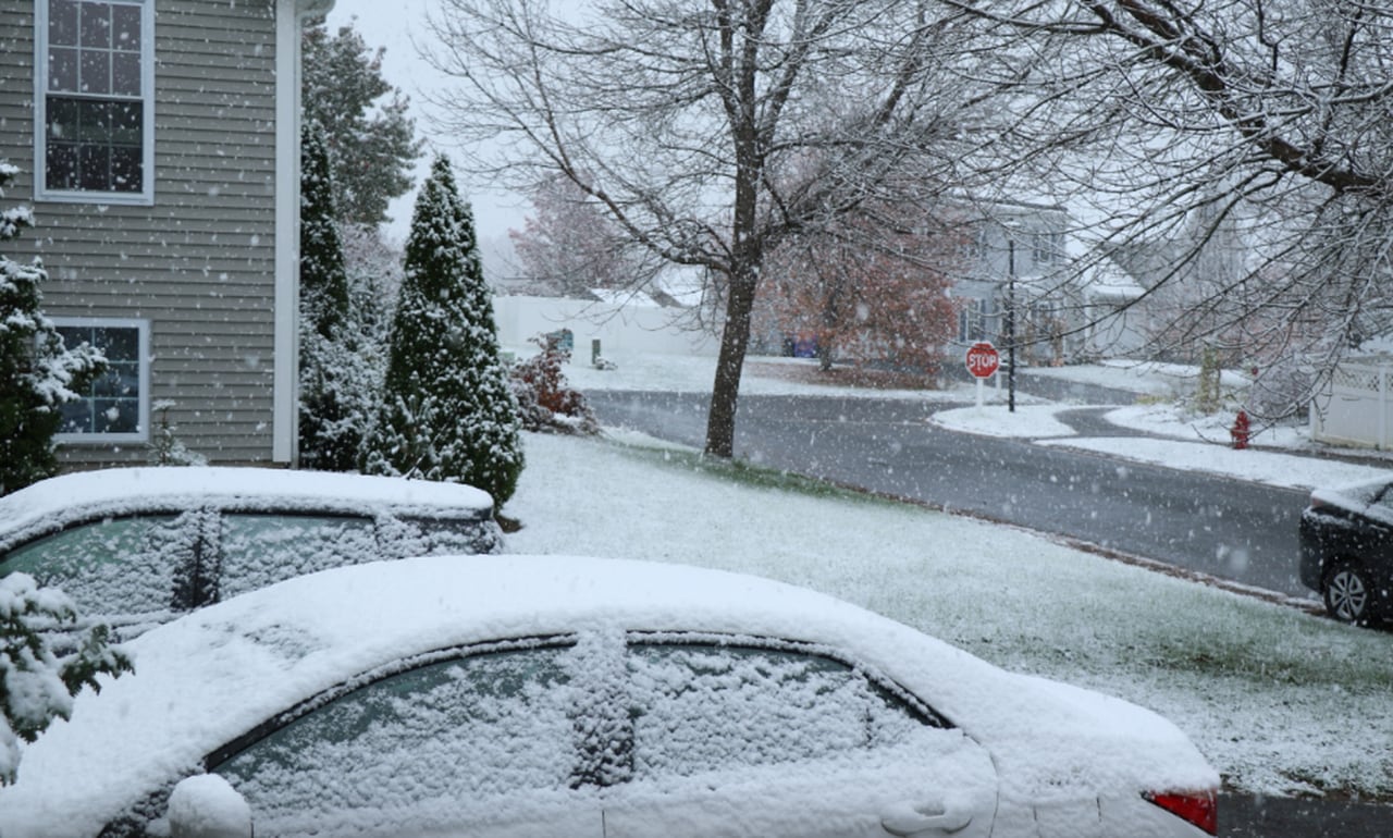
Parts of Central and Western Massachusetts currently have a strong chance of receiving more than three inches of snow this weekend, according to forecasters. But meteorologists also caution against the certainty of such forecasts this far out.
Current snow predictions
National Weather Service Forecaster Bryce Williams said Wednesday morning that, if the weather system keeps on its current path, the higher elevations in Central and Western Massachusetts have a 60% to 70% chance of getting more than three inches of snow this weekend. Additionally, those areas currently have a 40% to 50% chance of receiving more than 6 inches.
Other areas of the state have a small chance of getting a significant amount of snow, Williams said. The Boston area currently has a 20% to 40% chance of receiving more than three inches, and the South Coast has around a 20% chance.
Right now, meteorologists predict that the system will hit Massachusetts from the southwest, coming into Western Massachusetts first overnight Saturday and traveling across the region overnight and through Sunday. But Williams said that timeline is not at all certain.
“We’re far enough out that it could shift and come in earlier Saturday, as early as Saturday morning, or it could slow down and come in as late as Sunday afternoon,” he said.
The uncertainty of predicting snow several days out
Current weather predictions are all dependent on weather patterns keeping their current course, Williams said. It’s very possible that temperatures could stay high enough over the weekend to turn snow to rain, especially along the South Shore and Cape Cod.
But even the prediction that this weather system will come to our area is not a certainty. Three days out from a storm, a system could move as far as 150 miles off its current course, Williams said. When predictions are made even further out from when the storm is expected to hit, the system’s change of course can be even more dramatic.
Williams shared an example of this on social media Wednesday morning to illustrate how far from current predictions a storm system could end up between now and Saturday when the weather system is expected to hit Massachusetts.
In the image, you can see that a storm system that begins off the coast of Long Island could move north into the interior of Massachusetts in three days, or as far south Delaware. With more time, that same storm system could reach as far north as the top of Vermont and New Hampshire, or as far south as North Carolina.
Weather the rest of the week
Most of Massachusetts is not expected to see precipitation until Saturday, according to the National Weather Service. The Berkshires have a 20% chance of snow on Thursday before 1 p.m.
Highs this week are expected to be in the low 40s in most of the state on Wednesday and Thursday before shifting into the mid 30s on Friday and Saturday, according to the weather service. Lows overnight should be in the 20s most nights, except for Thursday night when they are expected to dip into the teens.
Bay Staters should see some clouds on Wednesday and Thursday, followed by a clear day on Friday, according to the weather service. The skies are expected to be mostly cloudy on Saturday.