
A rapidly intensifying weather system is expected to dump between 2 inches and 3 inches of rain on Massachusetts Wednesday and National Weather Service forecasters are warning of strong to damaging wind gusts, particularly in the eastern part of the state.
The rain should arrive essentially in two bursts: a period of widespread rain Wednesday morning with a lull around lunchtime. Then, a second round of rain will spread over the state from west to east beginning in the afternoon and stretching into the early evening. It’s that second period of rain that is expected to deliver the strongest impact, with up to 4 inches possible in some parts of the state.
“A lot of this heavy rain may coincide with the evening commute and result in the potential for localized urban flooding,” forecasters wrote.
A region of warm surface air is expected to spread across Massachusetts Wednesday, rocketing temperatures up to around 60 degrees or higher, allowing stronger wind gusts to reach the surface.
Forecasters say damaging winds between 50 mph and 60 mph could occur Wednesday during a lull in the rain that could allow temperatures to rise even further.
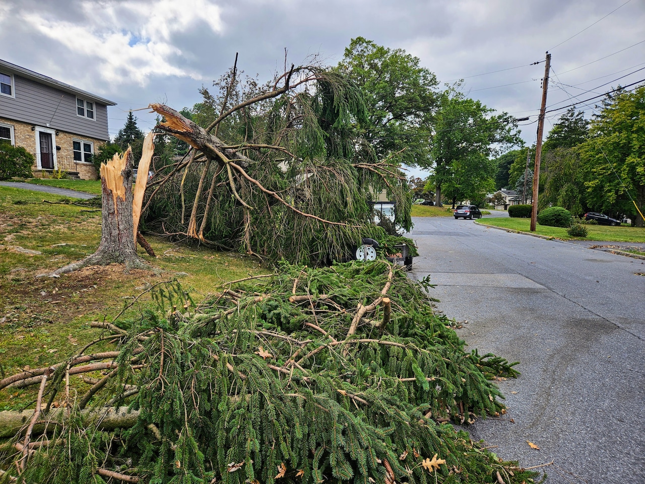
“Given the strong winds will be accompanied by heavy rain the risk for tree damage and power outages will exist,” forecasters wrote.
The weather service has issued a high wind warning for all of Eastern Massachusetts and Rhode Island beginning at 3 p.m. Wednesday, writing that “travel will be difficult, especially for high profile vehicles.”
“Use caution if you must drive,” forecasters warned.
Relief from the whipping wind and rain should arrive after midnight on Thursday as the weather system gives way to dry, blustery conditions with temperatures in the high 30s and low 40s.
“It will remain breezy as the cooler air works back into the region but nothing like we are expecting later today into this evening,” forecasters wrote.


