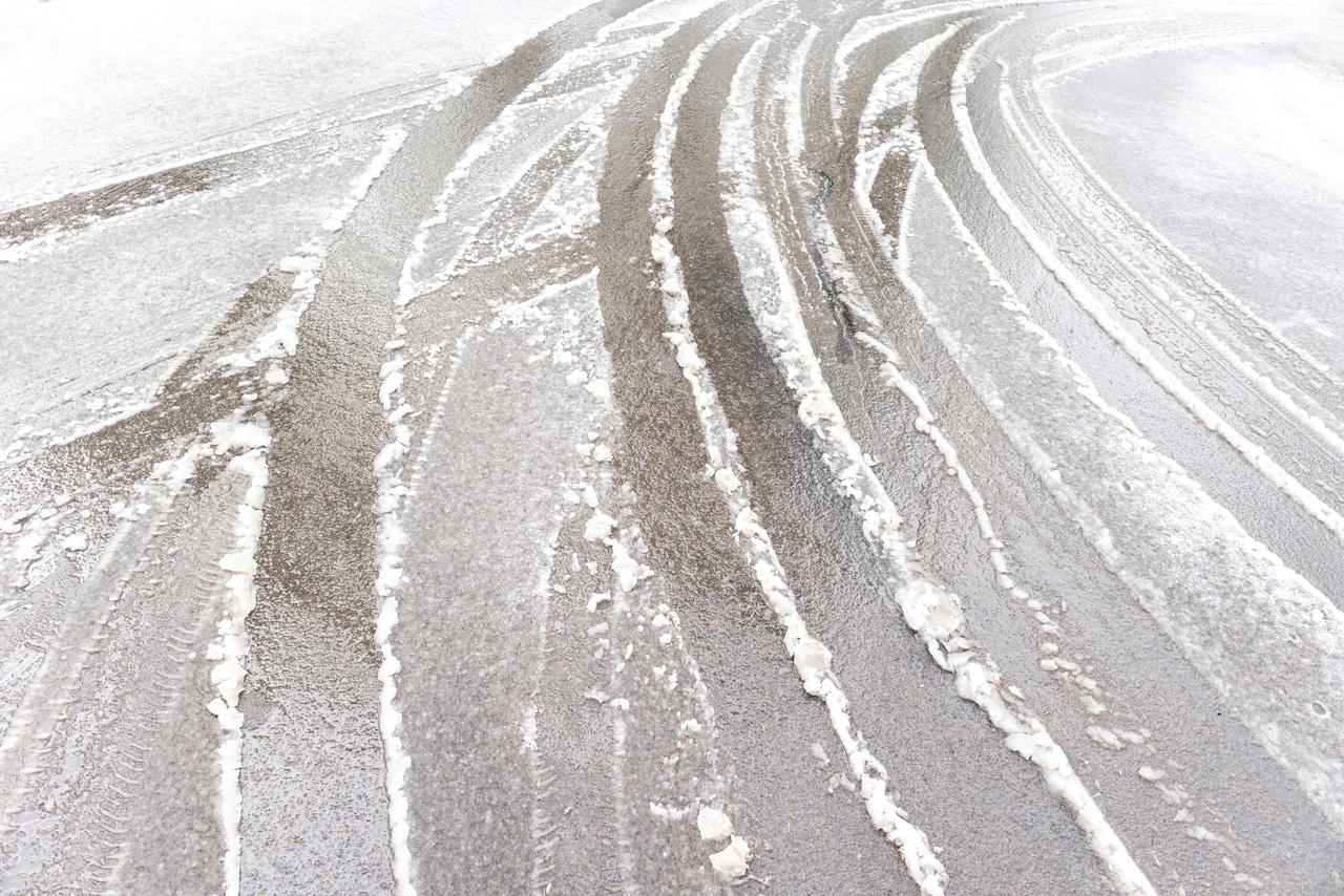
Slick roads are expected in parts of Massachusetts during the Thursday morning commute as the overnight snowfall switches to rain.
“Snow and pockets of freezing rain will result in slippery travel this morning,” forecasters from the National Weather Service cautioned.
“Motorists should use caution this morning. Slow down and allow extra time” the forecasters warned.
The most affected regions are expected to be in the northern part of the state, with Charlemont, Greenfield, Orange, Barre, Fitchburg, Chesterfield, Blandford and Ayer listed under the Weather Service’s Special Weather Statement.
The warnings come after about an inch of snow accumulated in some parts of the state overnight, with some towns in the Berkshires that received up to two inches.
Temperatures, especially in higher elevations, will be near 32 degrees as the snow transitions to rain and will create “pockets of freezing rain,” forecasters said.
This freezing rain may last for a few hours before temperatures rise above freezing later Thursday morning.
The steady precipitation is expected to continue until early afternoon in northern regions of the state. Areas near Cape Cod may see dry periods throughout the day with the chance of thunder rumbles.
And while skies should clear overnight, some clouds could bring flurries to the Berkshires and scattered rain across the Cape and Islands.
Forecasters are also looking ahead to more snow for northern Massachusetts on the way at the start of the weekend.
While daytime on Friday is expected to be clear with abundant sunshine and temperatures in the upper 30s to mid-40s, the good weather is expected to give way to snow in the evening that later switch to rain, forecasters said.
The transition from snow showers to rain will happen overnight into Saturday, forecasters said, and cold, blustery conditions are predicted to settle in for the weekend until early next week.