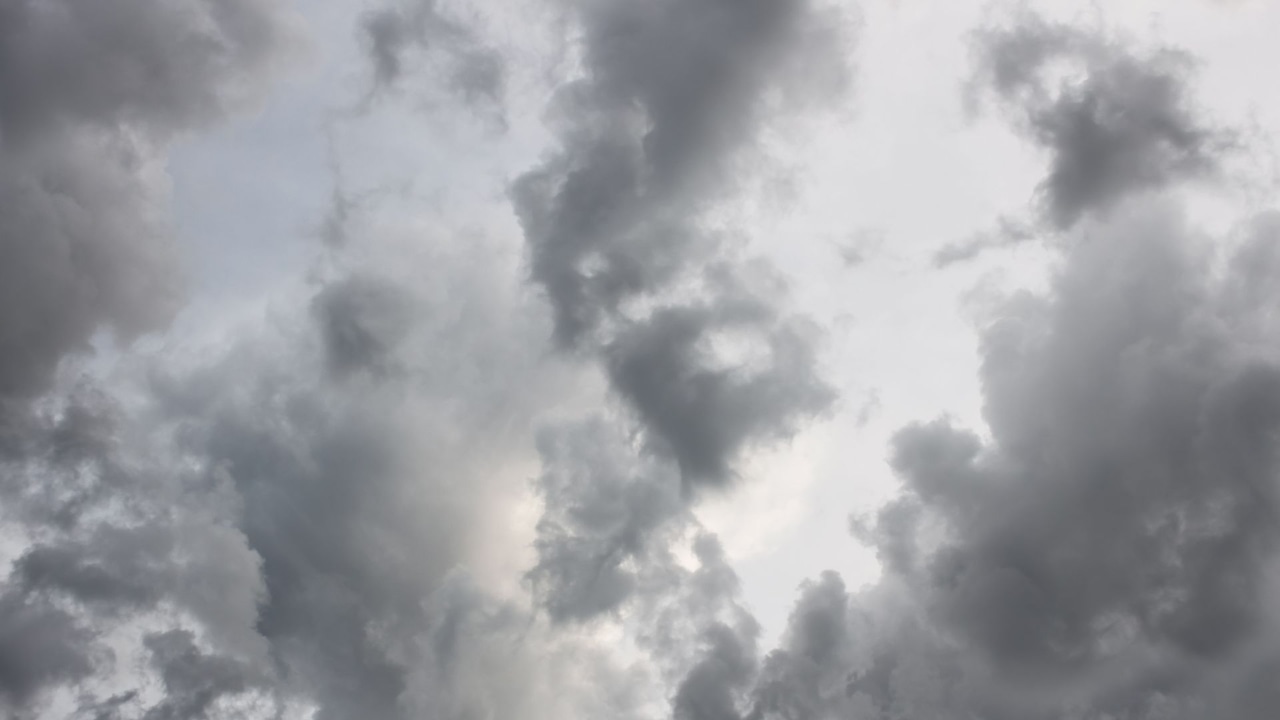
Fog and cloudy skies will kick off the first day of spring in Massachusetts on Thursday — with a whisper of snow in the nighttime forecast.
The fog and rain drizzles are expected to start letting up by 7 a.m. on Thursday morning, according to the National Weather Service. A dense fog advisory was issued until 10 a.m. for the coastline of the state.
This will give way to overcast skies throughout the day, with a chance of sunshine glimmers along the coast, forecasters said. Temperatures will range from the low to mid-50s for most of the state.
Boston could see a high of 54 degrees, while Worcester could hit 56 and Springfield could see a high of 58, forecasters predicted. Temperatures around the Cape and Islands should be between 45 and 50 degrees.
The dense fog and rain drizzles are expected to return in the evening by 6 p.m., which will turn to steady rain that could last through Friday morning, forecasters said.
For parts of the state in higher elevation, like the Berkshires, the rain could switch to snow as temperatures fall into the mid-30s overnight on Thursday.
However, precipitation levels are predicted to be less than half an inch, and snow accumulation will be light and non-impactful, forecasters said.
But the chilly weather won’t be out the door just yet as more rain and snow are expected to come through the state at some point early next week, the National Weather Service said.