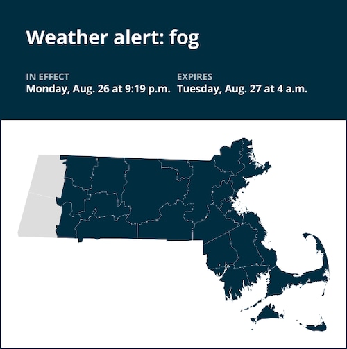
The National Weather Service issued a report at 9:19 p.m. on Monday for fog until Tuesday at 4 a.m. for Northern Worcester and Southern Worcester as well as Franklin, Middlesex, Essex, Hampshire, Hampden, Norfolk, Suffolk, Bristol, Plymouth, Barnstable, Dukes and Nantucket counties.

Navigating fog: Safety tips by the weather service
If you must drive in foggy conditions, keep the following safety tips in mind:
Moderate your speed:
- Slow down and allocate extra travel time to reach your destination safely.
Visibility matters:
- Ensure your vehicle is visible to others by using low-beam headlights, which also activate your taillights. If you have fog lights, use them.
Avoid high-beams:
- Refrain from using high-beam lights, as they create glare, making it more difficult for you to see what’s ahead of you on the road.
Maintain safe gaps:
- Keep a considerable following distance to account for sudden stops or shifts in traffic patterns.
Stay in your lane:
- To ensure you are staying in the correct lane, use the road’s lane markings as a guide.
Visibility near zero:
- In situations of near-zero visibility due to dense fog, activate your hazard lights and seek a secure location, such as a nearby business’s parking lot, to pull over and come to a stop.
No parking options:
- If no designated parking area is available, pull your vehicle as far off the road as possible. Once stationary, deactivate all lights except the hazard flashers, engage the emergency brake, and release the brake pedal to ensure your tail lights are not illuminated, reducing the risk of other drivers colliding with your stationary vehicle.
By adhering to these weather service precautions, you can navigate foggy conditions more safely, reducing the likelihood of accidents and ensuring your personal safety.
Advance Local Weather Alerts is a service provided by United Robots, which uses machine learning to compile the latest data from the National Weather Service.


